
🗺️ The route
Free to viewYou have seen the route. Take it to Komoot or your GPS watch so you are not following a phone signal you might not have.
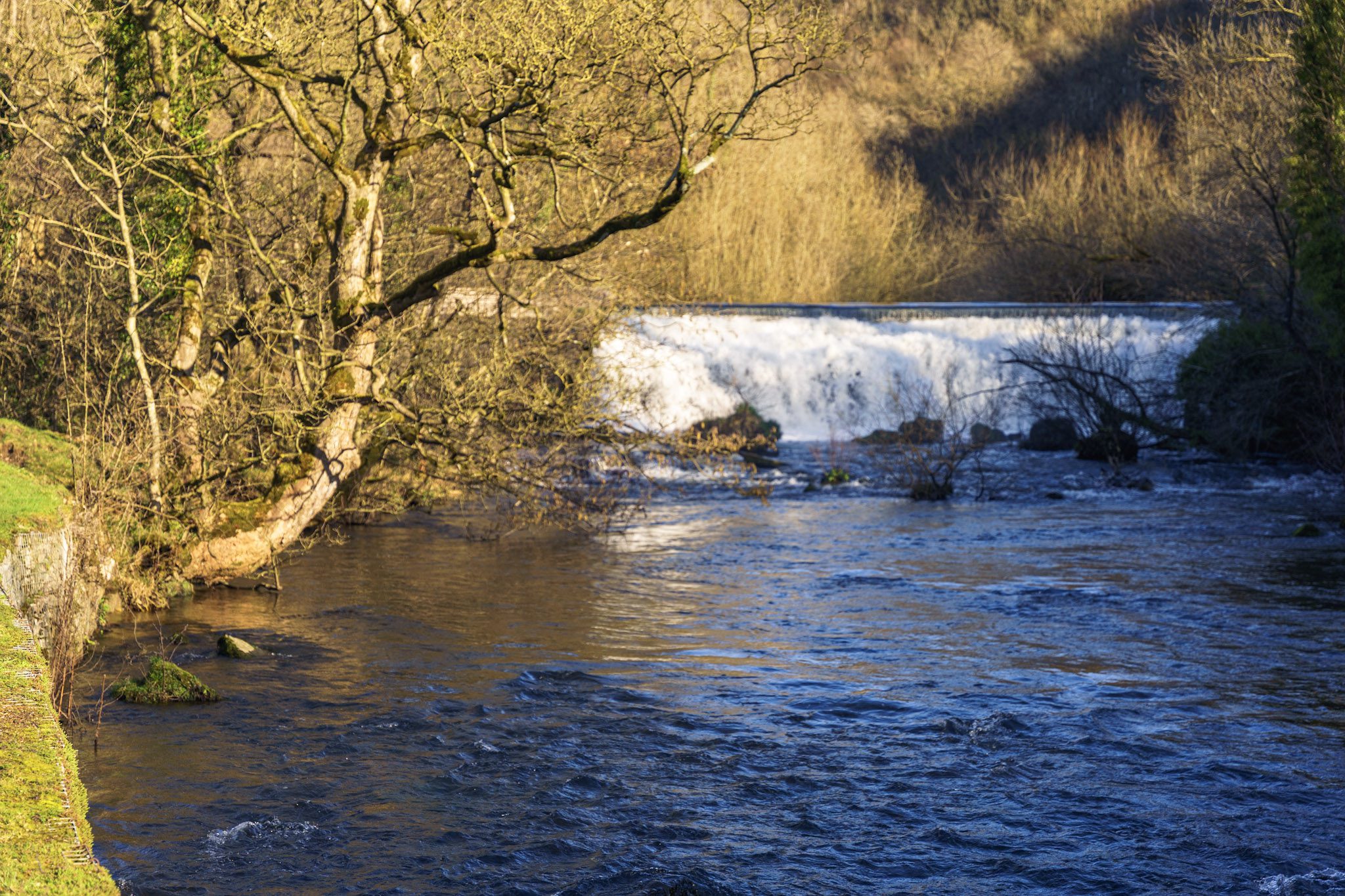
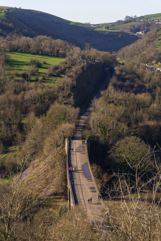
Join free to downloadThe Monsal Dale and viaduct has to be one of the most iconic Peak District viewpoints, and for good reason it really is breathtaking. The weir that’s hidden in the valley bottom is so powerful and it really is a great addition to this spot. If you want a short walk with amazing views, this one is hard to beat.
What to expect
This easy to follow route in the Monsal Dale has some of the best views in the Peak District. The path is steady heading down to the weir but is quite steep coming back up the other side, if you prefer a gradual incline, you might be better off doing an out and back route.
There are sometimes cows in the valley bottom, so make sure to give these space as you walk by them.

Getting there & parking
Park in the car park just behind the Monsal Head Hotel – DE45 1NL. There is also limited on road parking on the street opposite. There were seasonal restrictions in place last time we visited, so make sure to double check before parking.
Good to know
You'll find pay & Display parking at the start of the walk. Postcode for sat nav: DE45 1NL.
Yes, at the start of the walk.
On lead only.
Expect woodland and riverside paths underfoot.
The route
A simple circular route heading down through the woodland towards the weir and then back up and across the Monsal viaduct before returning to your car.
Tips & what to bring
Great for picnics, kids and photographers.
Eat & drink nearby
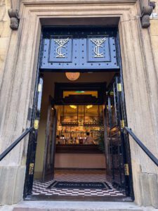
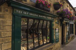
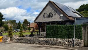
There’s often an ice cream van in the small car park at the viewpoint and also the hotel and stables bar serve food all day.
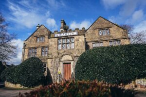
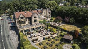
Places to stay nearby
More walks near here
Never Miss a Walk
New routes, hidden gems and honest reviews, straight to your inbox.
POIs nearby
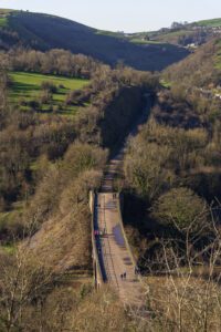 Monsal Head Viaduct
A disused railway line above Monsal Dale 📍 On the route View on map →
Monsal Head Viaduct
A disused railway line above Monsal Dale 📍 On the route View on map →
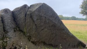 Jubilee Rock
A historic rock carved with the national anthem to commemorate Queen Victoria's jubilee 📍 4.9 miles away View on map →
Jubilee Rock
A historic rock carved with the national anthem to commemorate Queen Victoria's jubilee 📍 4.9 miles away View on map →
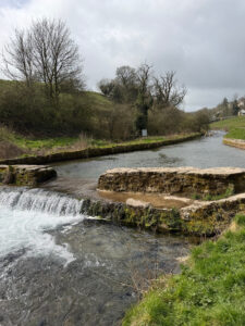 Swimming Area
Originally an old sheep dip fed by natural springs 📍 4.9 miles away View on map →
Swimming Area
Originally an old sheep dip fed by natural springs 📍 4.9 miles away View on map →