🗺️ The route
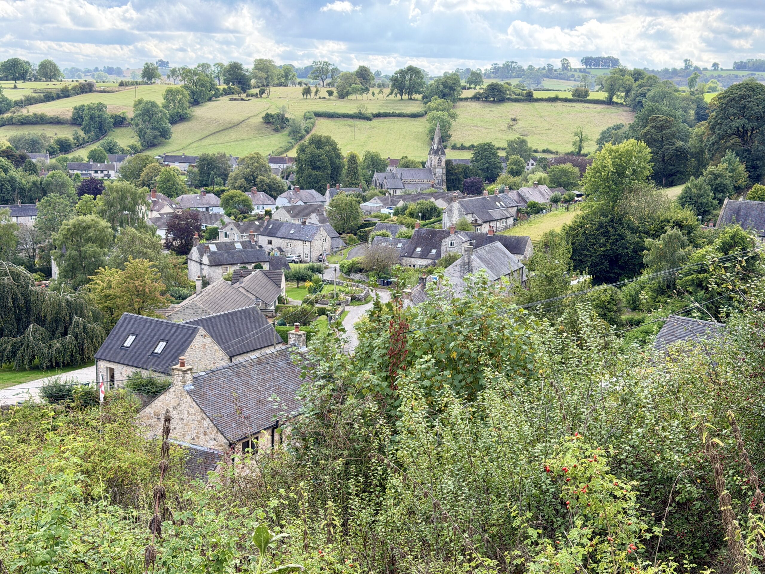
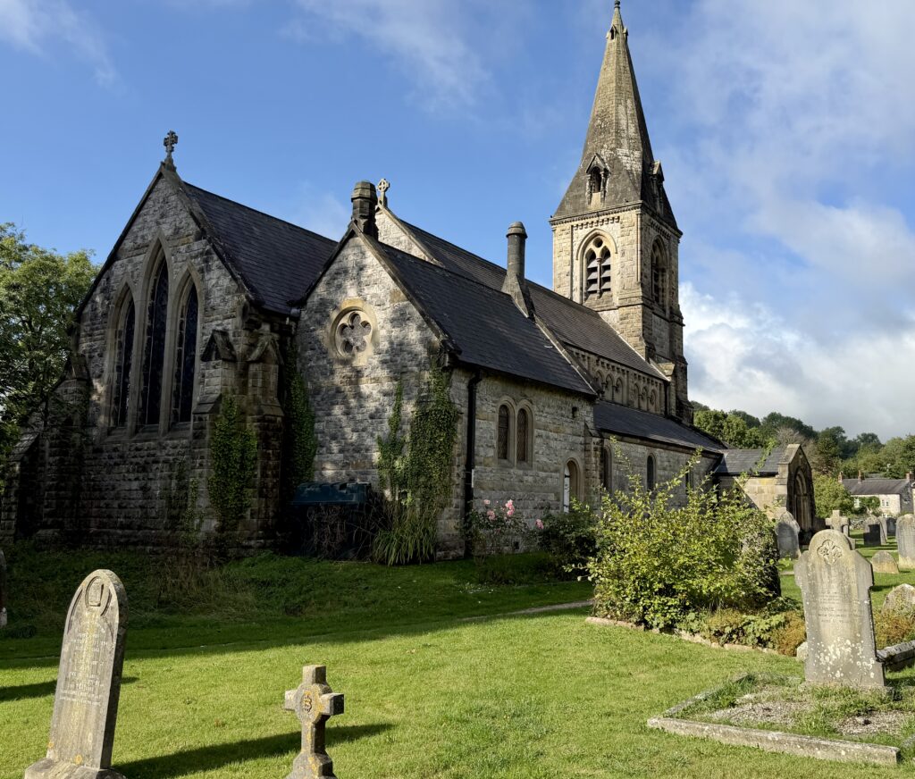
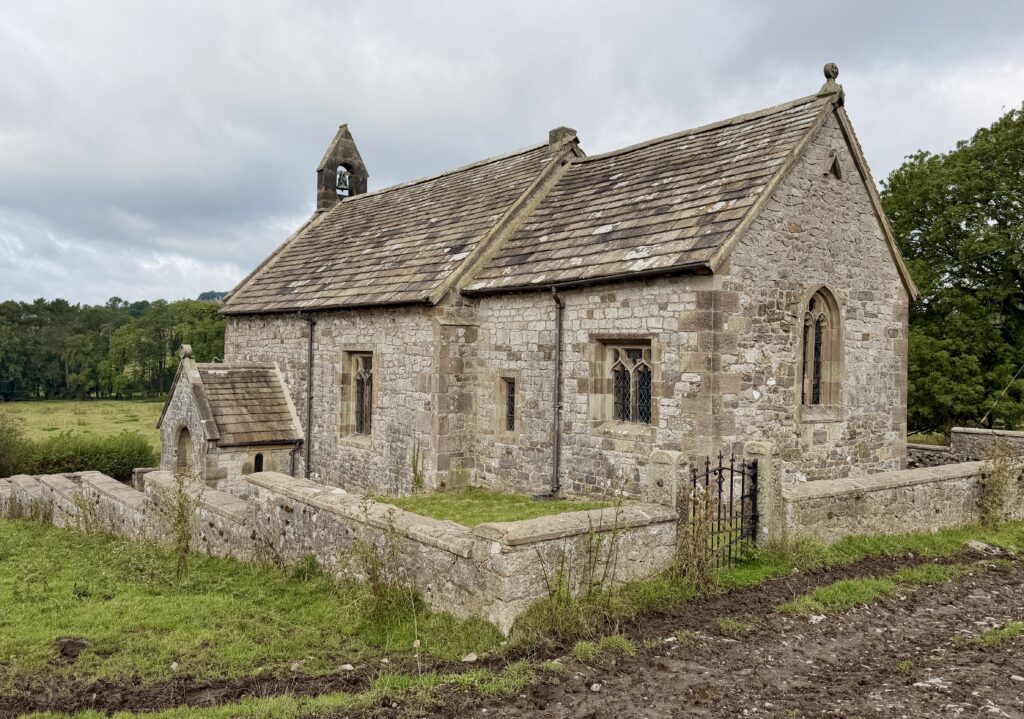
Free to viewThis beautiful 10 mile walk starting in Parwich near Ashbourne is perfect if you want to explore somewhere less popular, with quieter trails, lots of history and beautiful views. You will explore villages and things most people have never heard of, see one of the prettiest churches we’ve ever seen and learn lots about the local history.
What to expect
There are a lot of field paths on this walk meaning after a lot of rain it could be quite muddy and slippery, so this walk is probably best left for drier periods or after a frost.
Whether you’re into history or not, the walk is beautiful but if you want to learn more about the land and the settlements here then its definitely worth taking the extra time to read the signs and to check out the churches on route. Many of the fields you walk through will have sheep grazing in and some will have cattle.
Getting there & parking
Park in the free village car park at Parwich using postcode DE6 1QL. It’s has parking for about 12 cars.
Good to know
No, there aren't any on this route.
No, dogs aren't allowed on this walk.
Expect fields, farm tracks and trails underfoot. What we wear for it ↓
The route
- 10.6 Miles
- 5-6 Hours
- Moderate
This is a circular route starting in the village of Parwich, heading towards Ballidon, you’ll turn off just before Longcliffe to cross the High Peak trail before circling back around to Ballidon Quarry and Parwich.
- Rainster Rocks
- Minninglow Hill
Step-by-step
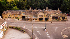
- From the car park at Parwich you can head into the village for a little look around, maybe visit the church or pub for a drink (if its open)
- Afterwards, head up the road, away from the village and you'll see a footpath sign on your right.
- Join this, and follow it through a few fields before coming out on a country lane.
- This will join you onto the road on a bend, follow the road to the right, its a short stretch here on the road with no pavement, so take care.
- At the junction you want to head straight over and rejoin the footpath, through a number of fields, through stiles and you'll reach Ballidon.
- Turn left on this little road and you will soon see a tiny little church on your right.
- Head in here for a look, it's beautiful before continuing up the steep grassy hill.
- Continue along this footpath, across the tops, don't forget to look back at the view behind you.
- After probably half a mile, maybe a little more you will start heading down towards the main road.
- You want to cross straight over this when reaching it and continue to walk up this quiet country lane.
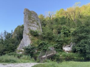
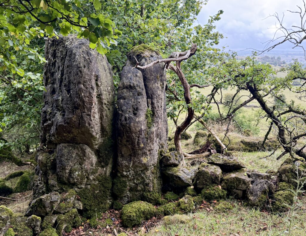
- After a further half a mile you will be able to spot Rainster Rocks on your left.
- Head through the footpath here and check out the rocks and settlement before continuing through the gate, past the barn ruins and towards the road.
- Turn right on this, its a busy road but there's a grass verge to walk on, just be careful.
- On the next bend, opposite the woodland you will see a footpath sign off to the left, take this and follow it through the fields, woodlands and then up onto a farm track lane.
- You will see the High Peak trail bridge shortly after, you want to go under this.
- Cross the field, through the gate and turn left up the farm track lane.
- You will be walking parallel to the High Peak Trail at this point.
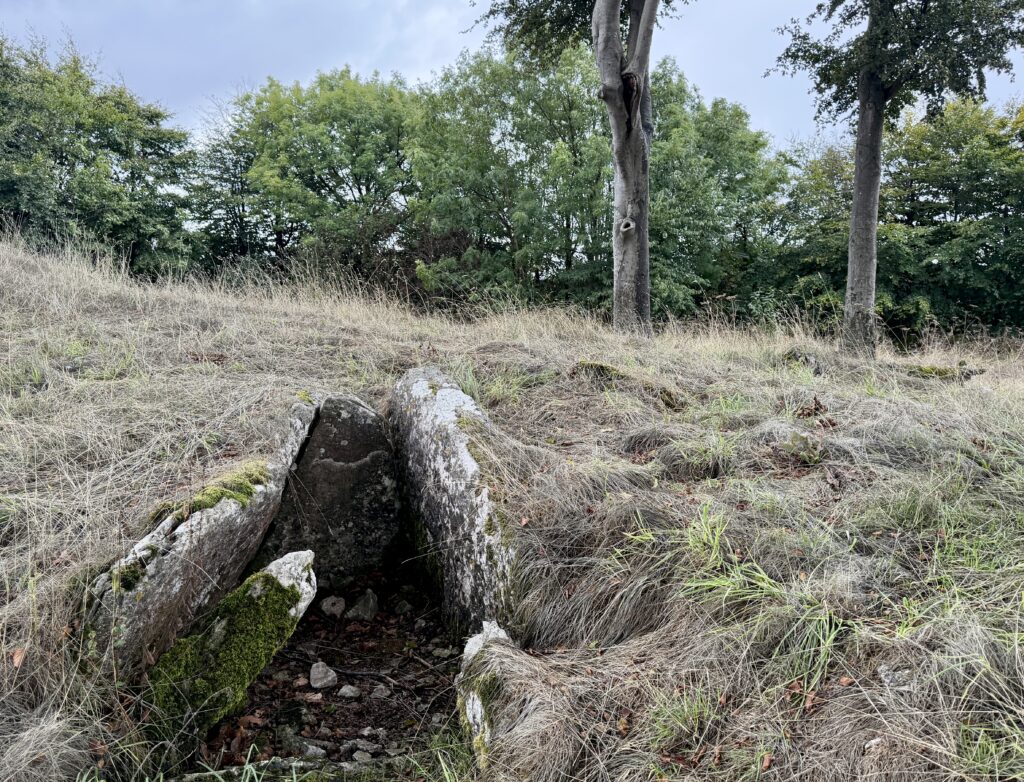
- Look to your right and you will see a coppice of large trees on the hilltop, this is Minninglow Hill an ancient burial ground.
- There is a permissible footpath from the track leading upto here and we recommend going for a look if you have time, its a great picnic spot too.
- You will come back down this path to rejoin the farm track before continuing the way you were going.
- You will meet a junction on the next bend, the High Peak Trail and Pennine Bridleway, you want to head straight across and through the gate.
- At the next bend there you will see a sign, again for Minninglow Hill but this time you'll find fishing lake in there, walk through here for a change of scenery or stick on the main path, they'll lead you the same place.
- A short while after you will see another track go off to the left, you want to take this one.
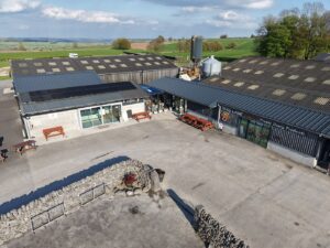
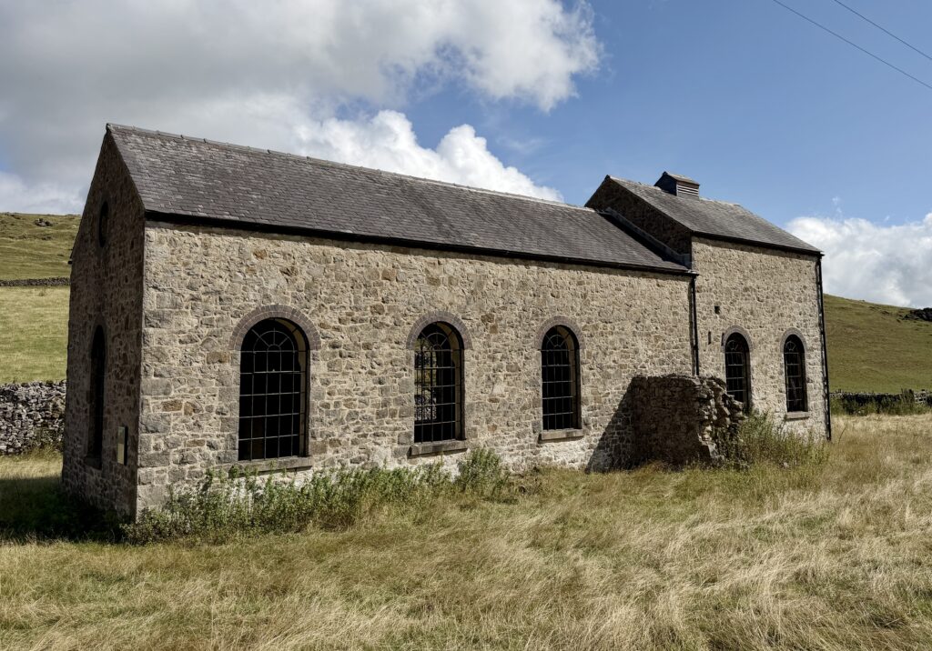
- You will pass Roystone Rocks, Roystone Grange and walk through the beautiful farmyard before coming across the pump house.
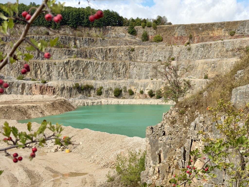
- Continue a little further and you'll see a path on your right leading upto Ballidon Quarry, a beautiful blue lake (most probably very toxic)
- Head past these and on the next junction turn left, this will take you up a hill, over a stile and onto a road where you'll turn left.
- Follow this for about 5 minutes and look out for a footpath on your right.
- Continue along this, through fields and back down into the village of Parwich.
Your walk
Heading out? Take this walk with you
Free members get the tools to follow it on the day, so you're not relying on phone signal.
- GPX downloadFor your phone, watch or Komoot.
- Printable route cardOne page with the route, pit stops and an emergency line.
- Track it & get the stampTick it off and add the miles to your log.
Tips & what to bring
This route is a self sufficient route, there is very little in the way of refreshments after leaving Parwich so make sure you pack everything you need including food, drink, extra warm layers and waterproofs. Good boots are also needed on this for the muddy field paths and slippery rocks you’ll climb over.
What we'd pack for this walk
See how we wear it →Kit we actually use, picked for this route.
-
Muddy footpaths & uneven ground Char wearsLowa Renegade GTX (Women's)
A classic supportive waterproof walking boot for longer days.
-
Food, drink & layers Char usesOsprey Skarab 30L
A comfortable day pack with a hydration sleeve for full days out.
-
No shops on route. We both useOsprey 3L Hydration Bladder
Hands-free hydration that slots into our day packs.