🗺️ The route
Free to viewYou have seen the route. Take it to Komoot or your GPS watch so you are not following a phone signal you might not have.
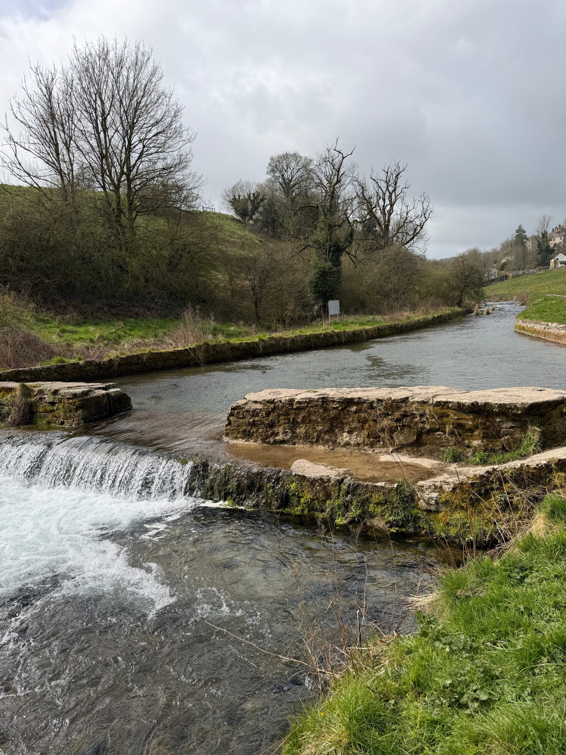
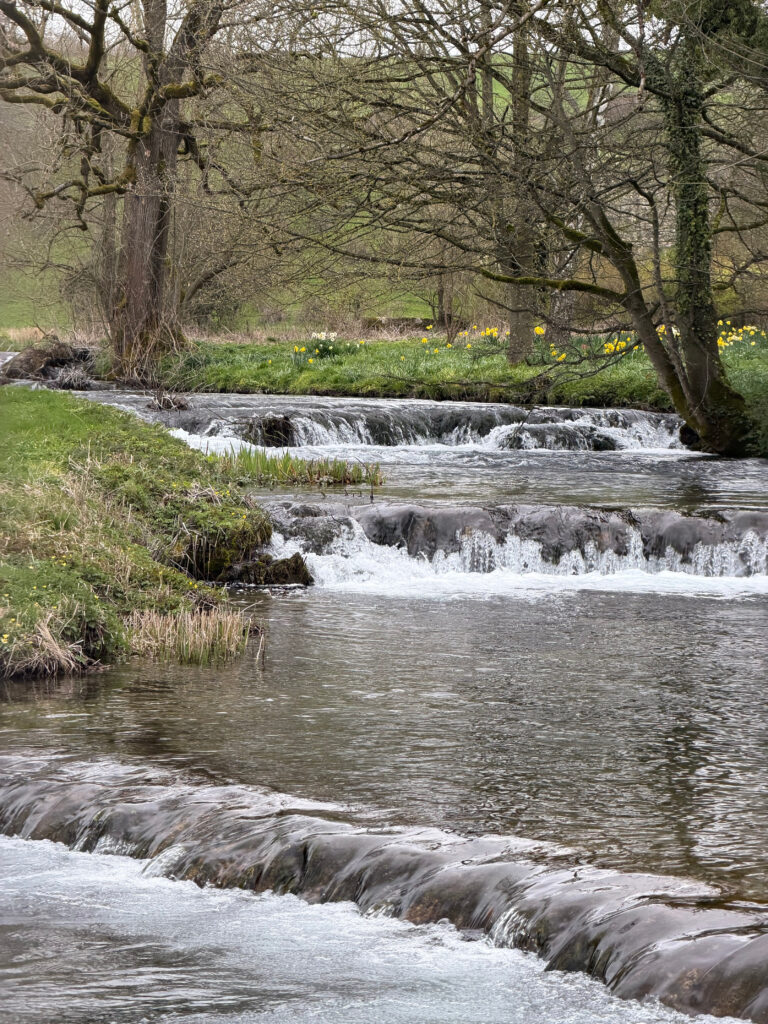
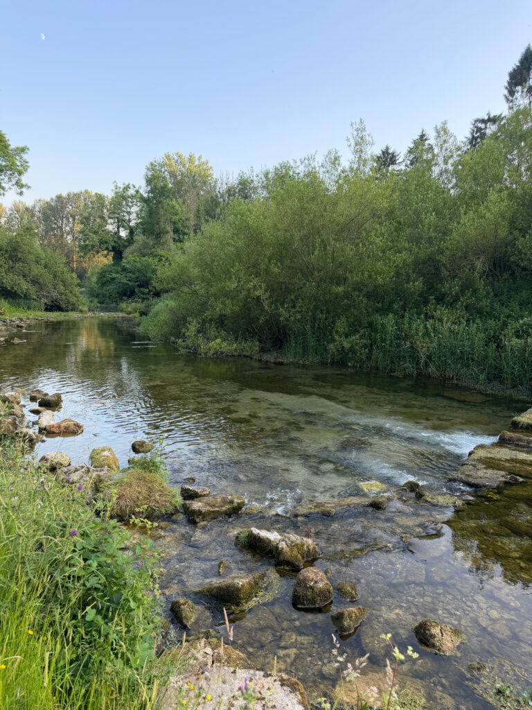
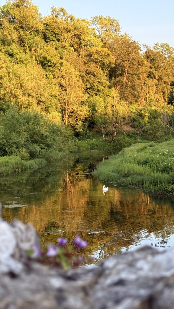
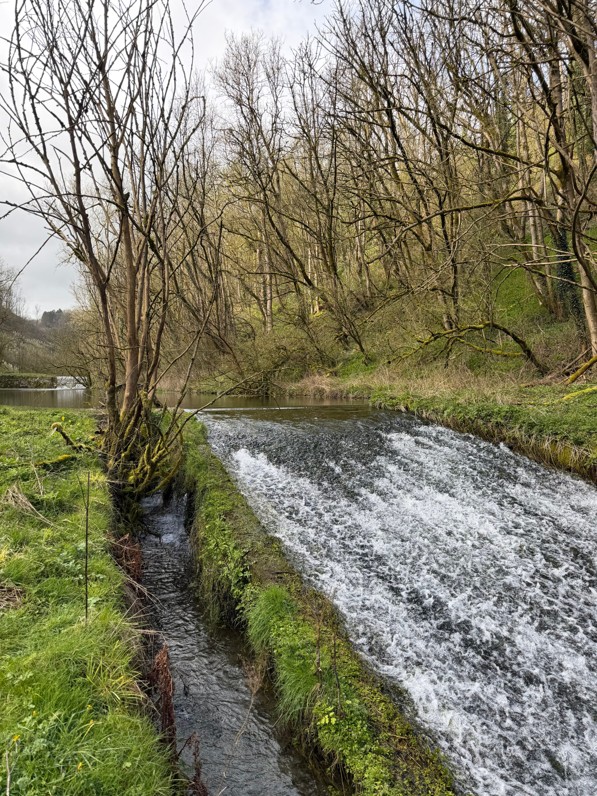
Join free to downloadThis 8 mile loop has to be one of the prettiest walks in the Peak District with some of the clearest water we’ve ever seen. If you walk by the River Lathkill on a sunny day, you’ll think you’re abroad and the River Bradford has its own ‘swimming area’ which we’ve not seen in a river anywhere else in the UK.
What to expect
Lathkill Dale is a site of special scientific interest which means its protected and there’s no swimming allowed here but you can save that for Bradford Dale at the end of your walk. The majority of the route is pretty level apart from one set of really steep steps half way, the views from the top are worth it though.
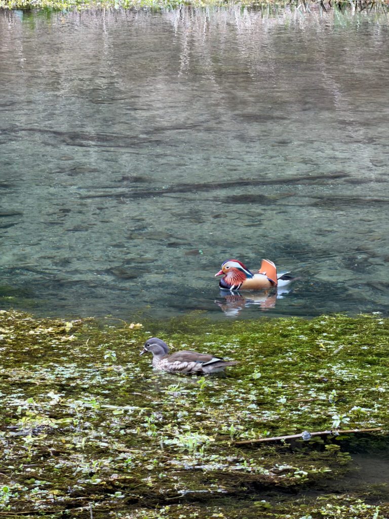
A lot of birds can be seen on this route, even kingfishers on so look out for them, they’re bright blue but lighting fast.
Getting there & parking
Limited FREE lay-by parking – DE45 1LG. There’s also a small car park in Youlgreave and a pay & display car park on Moor Lane at the height of this route.
Good to know
You'll find free (limited) parking at the start of the walk. Postcode for sat nav: DE45 1LG.
Not on the route itself, but there are some nearby.
On lead only.
Expect riverside path, woodland trails underfoot.
The route
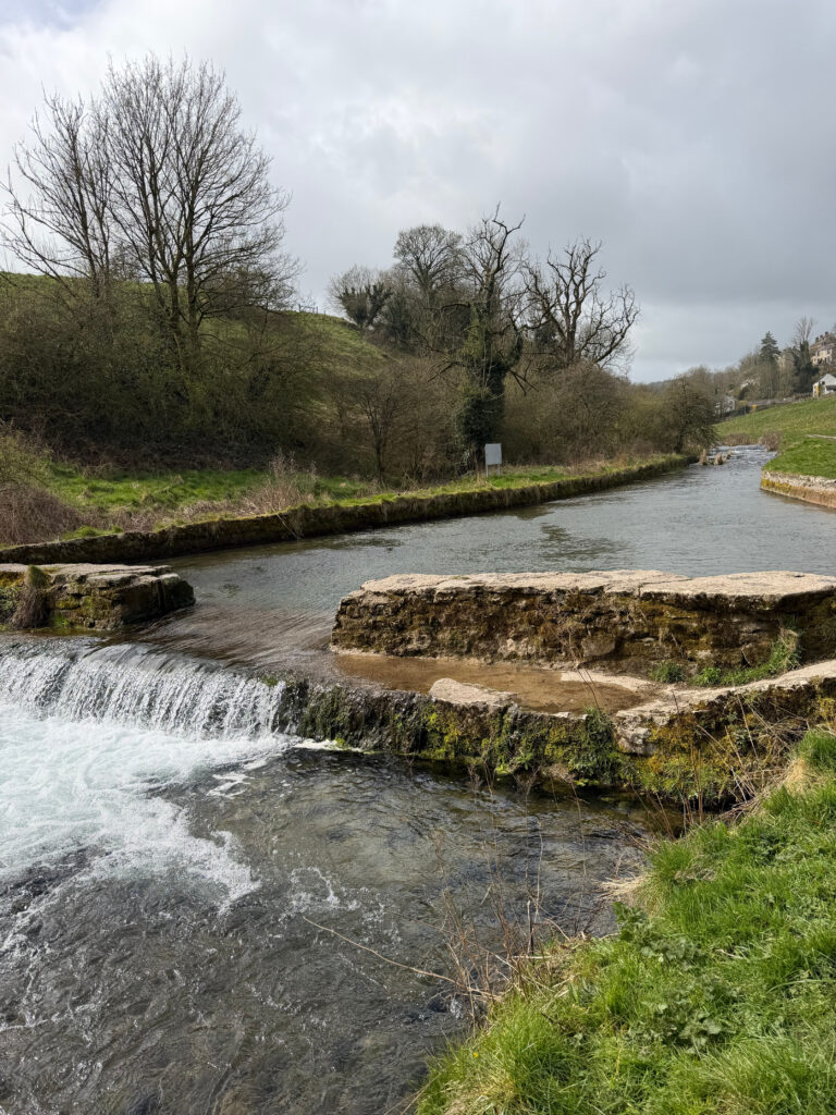
A beautiful 8 mile circular route following riverside paths, turquoise blue water and 2 of the prettiest dales in Derbyshire. A family friendly walk that everyone will love.
Tips & what to bring
Don’t forget your swimwear and a towel if you want to swim. The Lathkill Dale does flood after a continued period of heavy rain and the waterfall will run dry after weeks of no rain.
Eat & drink nearby
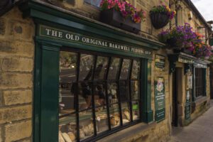
There’s pubs, bakeries and a village shop in Youlgreave, perfect for post hike refreshments. Bakewell and Matlock are both only 15 minutes away too.
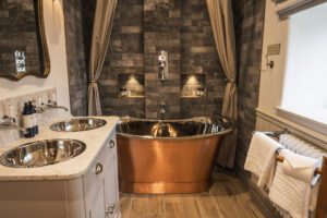
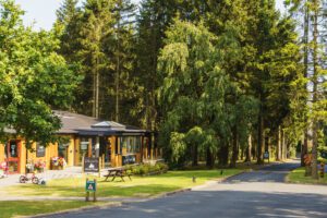
Places to stay nearby
More walks near here
Never Miss a Walk
New routes, hidden gems and honest reviews, straight to your inbox.
POIs nearby
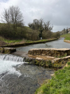 Swimming Area
Originally an old sheep dip fed by natural springs 📍 0.6 miles away View on map →
Swimming Area
Originally an old sheep dip fed by natural springs 📍 0.6 miles away View on map →
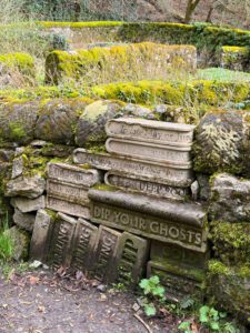 Wall Of Books
Carved book shaped stones in the wall 📍 1.5 miles away View on map →
Wall Of Books
Carved book shaped stones in the wall 📍 1.5 miles away View on map →
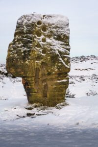 Cork Stone
A natural gritstone rock formation with step holes 📍 1.8 miles away View on map →
Cork Stone
A natural gritstone rock formation with step holes 📍 1.8 miles away View on map →
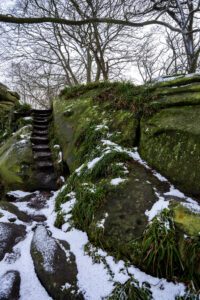 Rowtor Rocks
Natural and man made caves and carvings 📍 1.8 miles away View on map →
Rowtor Rocks
Natural and man made caves and carvings 📍 1.8 miles away View on map →
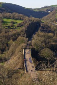 Monsal Head Viaduct
A disused railway line above Monsal Dale 📍 4.9 miles away View on map →
Monsal Head Viaduct
A disused railway line above Monsal Dale 📍 4.9 miles away View on map →