🗺️ The route
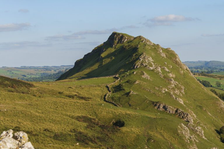
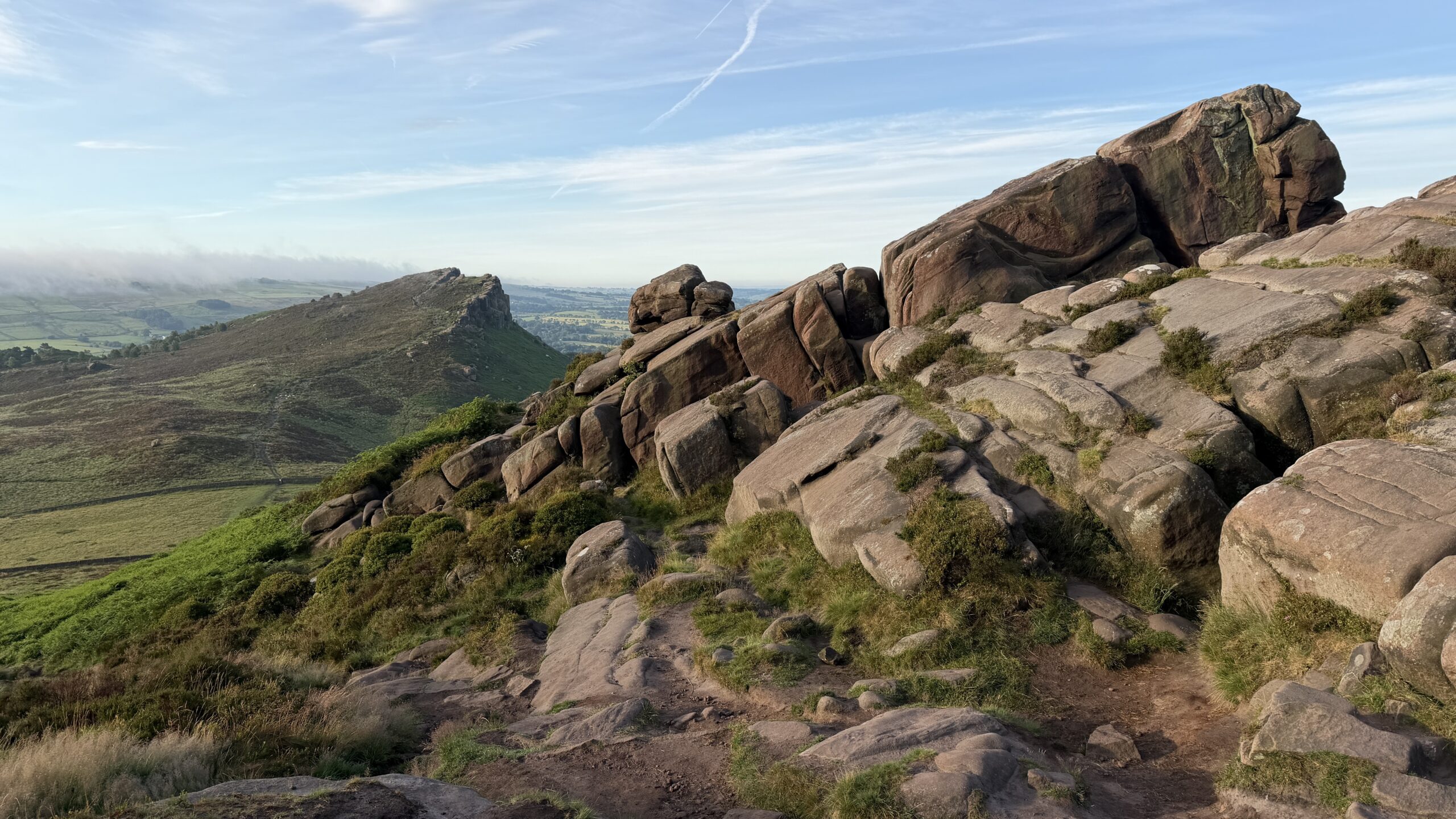
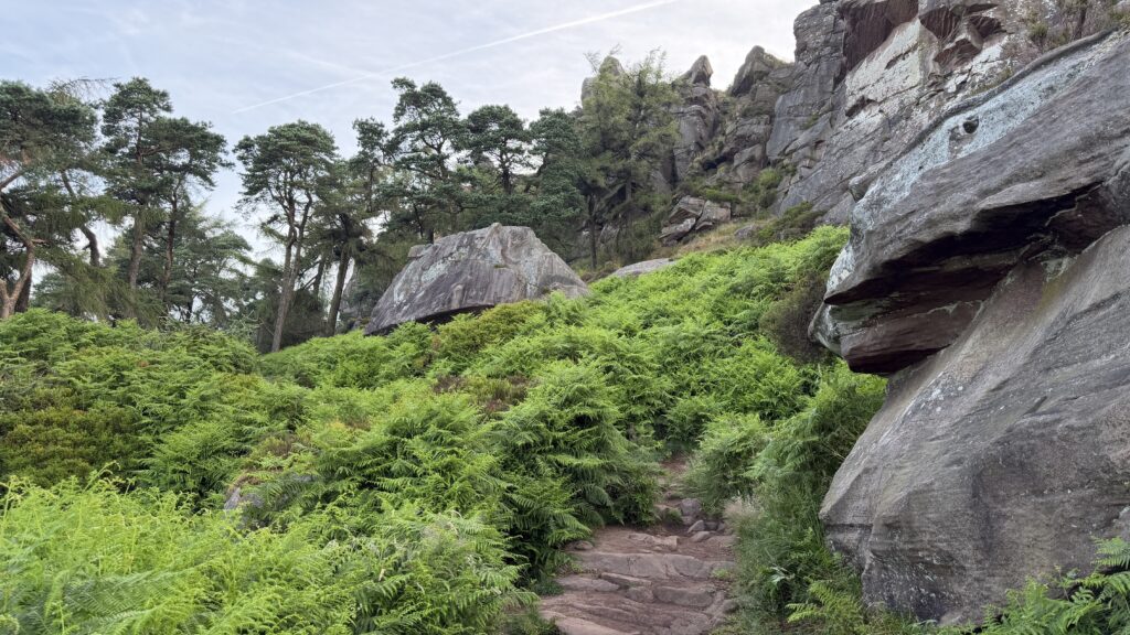
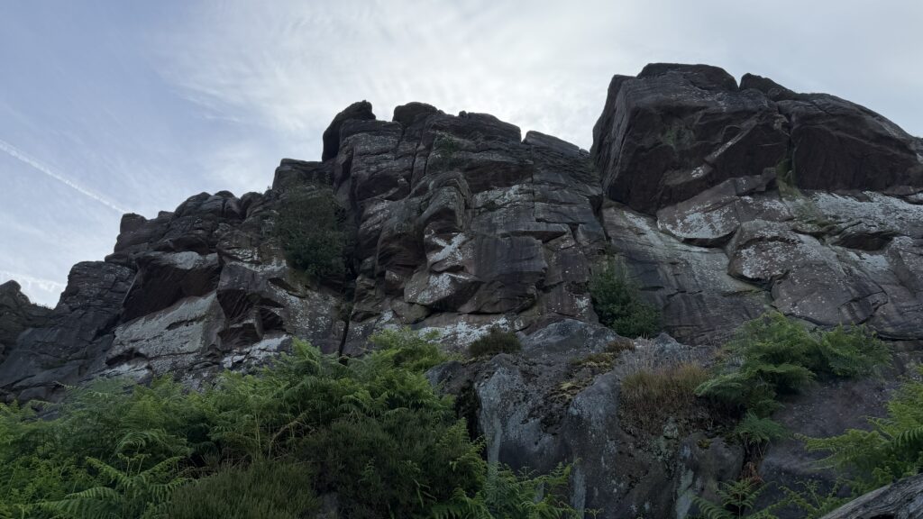
Free to viewThe Roaches is a 5 mile long Gritstone edge in the Staffordshire Peak District and Hen Cloud is its often quieter next door neighbour. A great sunrise or sunset spot due to the close proximity of parking and amazing views in every direction.
What to expect
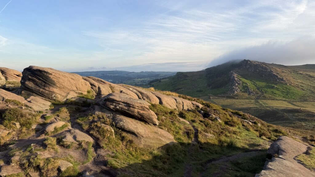
This is a popular area with good and easy to follow footpaths, and for a short walk, its hard to find anywhere in the area with views as good as they are here.
This area used to be home to wild wallabies and although they’ve not been spotted for a number of years it’s always worth keeping an eye out, just in case. You can also spot peregrine falcons, kestrels and red grouse on here.
Getting there & parking
Free roadside parking along Roach Road – ST13 8UA. There’s also a car park that opens when its busy to provide more parking. This road is narrow in places so please be considerate when visiting.
Good to know
On lead only.
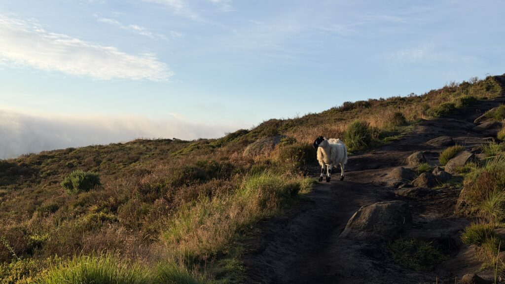
Expect cliff edge and forest paths underfoot. What we wear for it ↓
The route
- 3.8 Miles
- 2-3 Hours
- Moderate
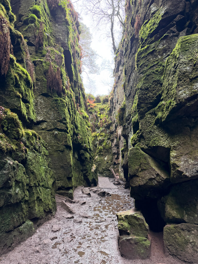
This it a route of two halves, set off from your car and head towards Hen Cloud on your right, take in the views from there before heading back down and up along the Roaches on the other side. You’ll follow this ridge to the trig point before returning and cutting down through the woodland below.
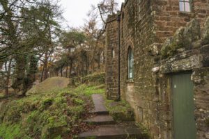
- Don Whillans Memorial Hut
- The Roaches
Step-by-step
- From lay-by parking, head up the main path before heading through the wooden farm gate and then the foot gate on your right.
- Follow this path up towards Hen Cloud.
- Once you've enjoyed the view here, head back down to the gate you came through before heading up here and cross straight over.
- This is a short but steep climb upto The Roaches.
- Follow this path, along the edge, you'll pass Doxy Pool about half way.
- Continue along the path until you reach the trig point.
- Come back on yourself and when you're almost down you'll see steps on your right hand side taking you into the woods.
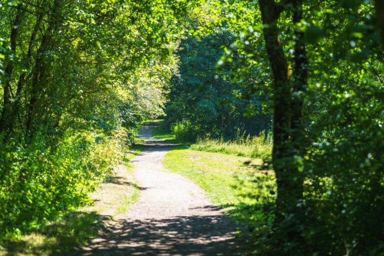
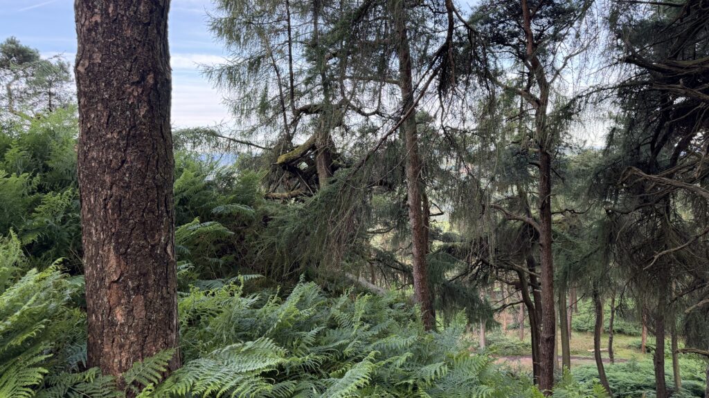
- Follow these down and through the woods, you'll see Don Willian's memorial hut in here too.
- Continue towards the stone wall and gate, follow the main path and then turn right and head back to your car.
Your walk
Heading out? Take this walk with you
Free members get the tools to follow it on the day, so you're not relying on phone signal.
- GPX downloadFor your phone, watch or Komoot.
- Printable route cardOne page with the route, pit stops and an emergency line.
- Track it & get the stampTick it off and add the miles to your log.
Tips & what to bring
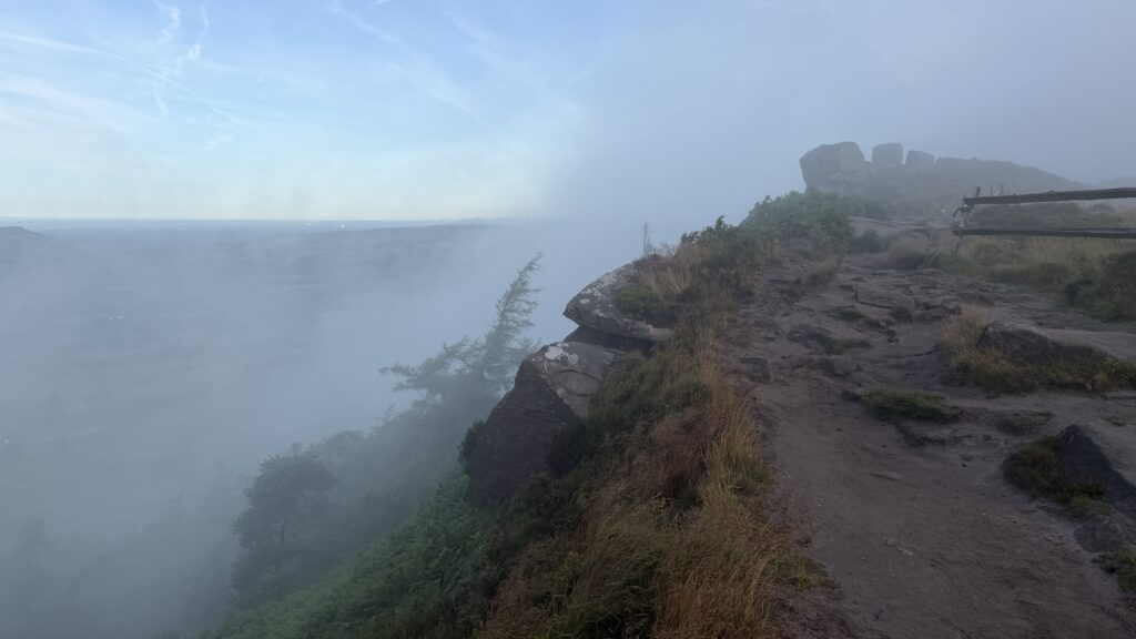
This edge can be quite exposed as well as quite different to the paths below, it can get very windy and even on a summers day visibility can be poor if you find yourself in the low cloud or mist. Always download the map before you go and keep dogs and children close as there is a steep drop along the edge.
What we'd pack for this walk
See how we wear it →Kit we actually use, picked for this route.
-
Grip on rock We both wearLa Sportiva TX4
Grippy, supportive approach shoe we wear on rockier Peak trails.
-
Cold before the sun comes up Char wearsRab Microlight Alpine (Women's)
Lightweight, packable down jacket for cold starts and summit stops.
-
A brew at the top We both useJetboil Stove
Fast, efficient stove for a brew or a hot meal on the trail.