
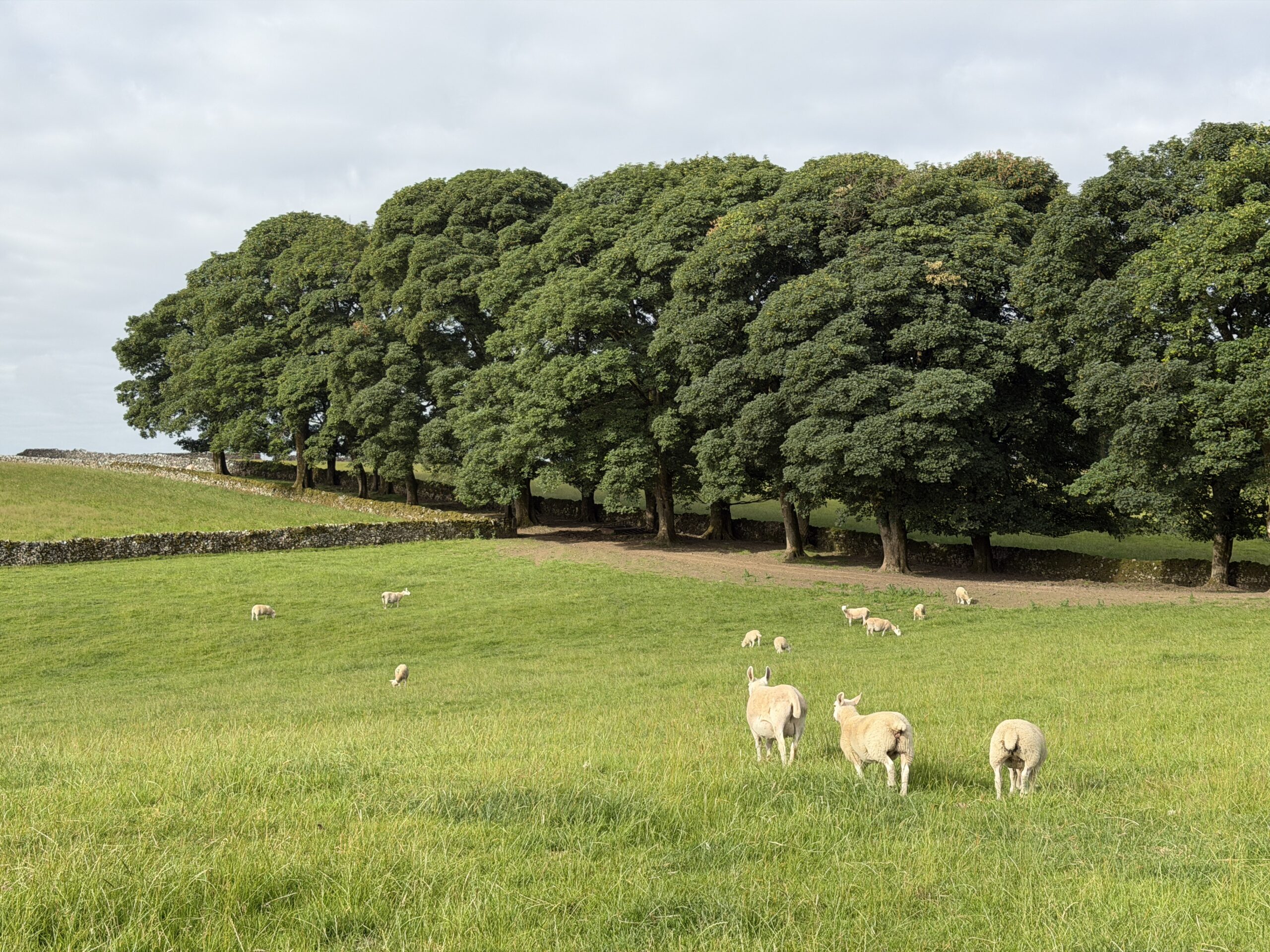
🗺️ The route
Free to viewYou have seen the route. Take it to Komoot or your GPS watch so you are not following a phone signal you might not have.
Join free to downloadIf you’re looking for a walk to take in the Dovedale stepping stones but are wanting to make it a bigger day, then you’ll want to consider this circular route taking in Milldale, Hall Dale and Bunster Hill.
What to expect
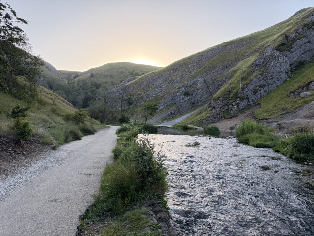
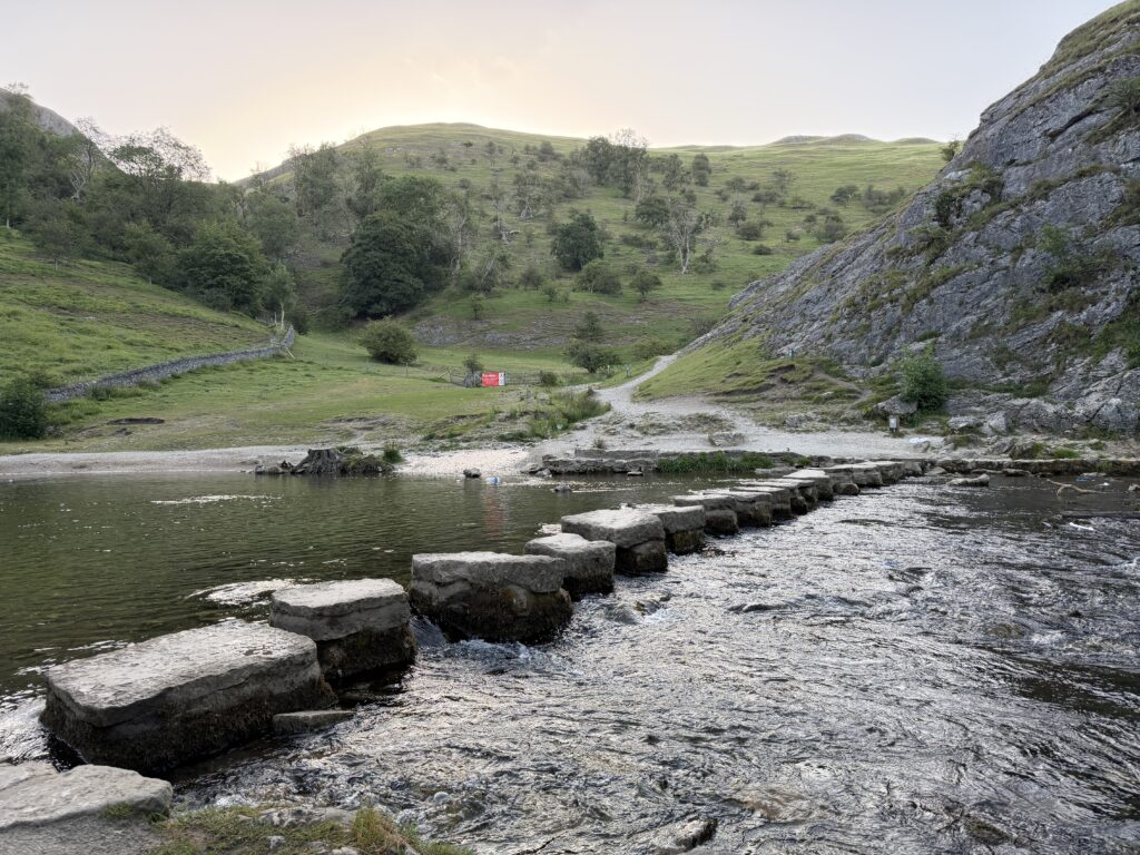
The riverside path is good but it does get busy, especially around the stepping stones, so if you prefer a quieter walk then try to get here early or late on to avoid the crowds. there are some really steep sections on this route, which is why we’ve labelled it as moderate-hard.
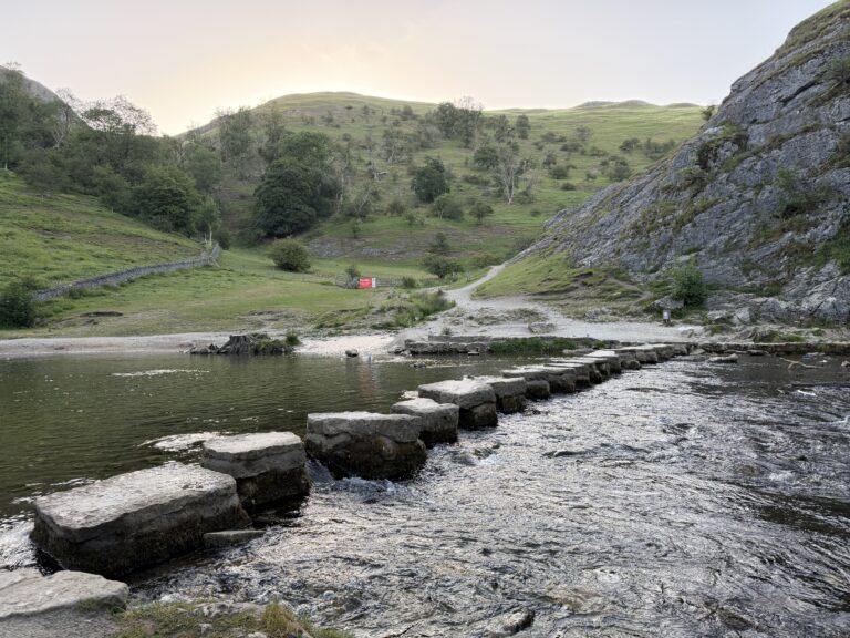
The stepping stones can flood and depending on how high the river comes it can make them impassable. There is a bridge to cross the river towards the car park but sometimes floodwater can completely cover the path the other side too.
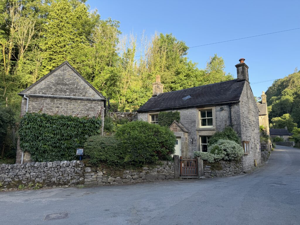
Getting there & parking
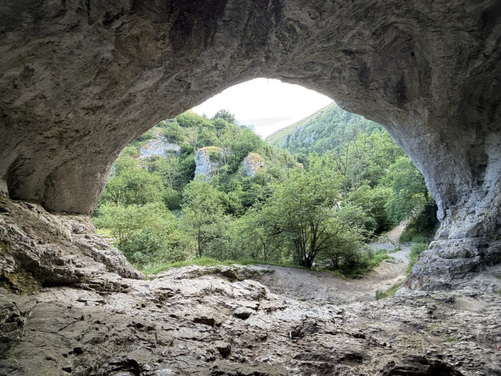
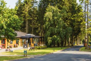
Dovedale National Trust car park – DE6 2AY. There is sometimes alternate parking in a farmers field just above here and there’s more parking at Ilam Hall.
Good to know
You'll find national Trust parking at the start of the walk. Postcode for sat nav: DE6 2AY.
Yes, at the start of the walk.
On lead only.
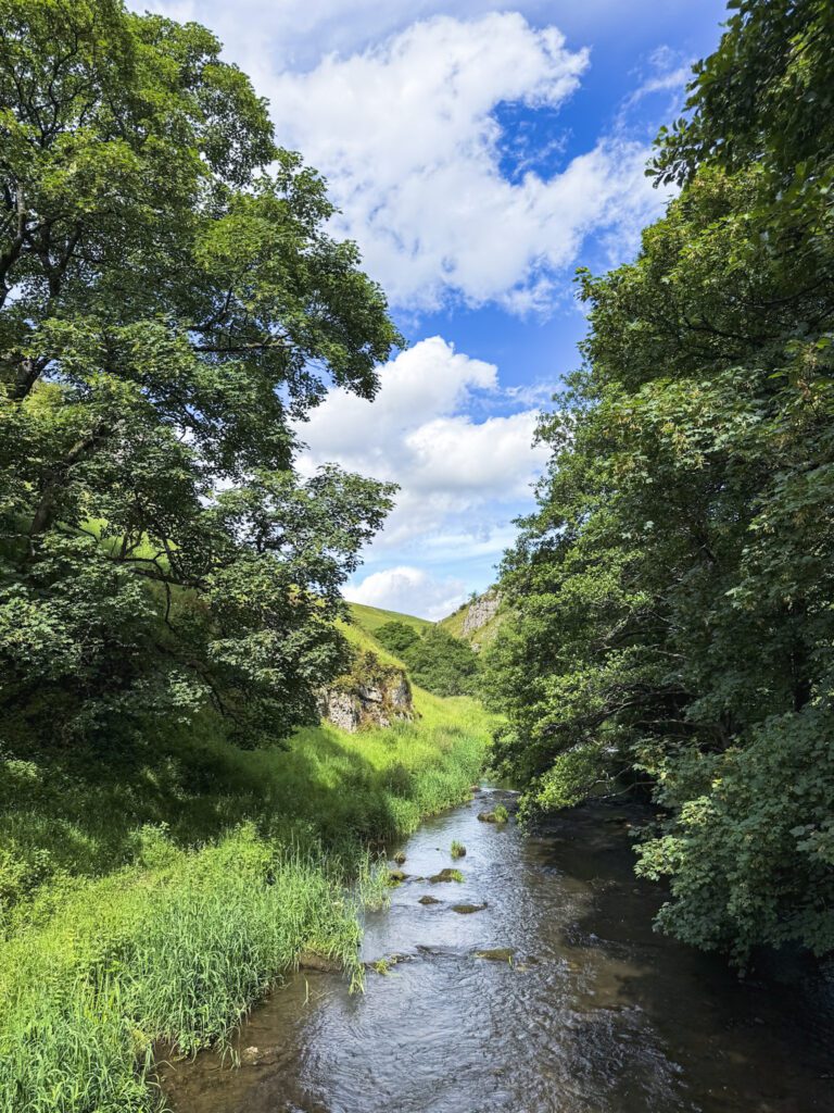
Expect riverside and field paths underfoot.
The route
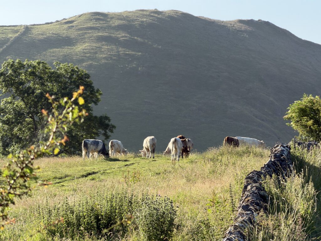
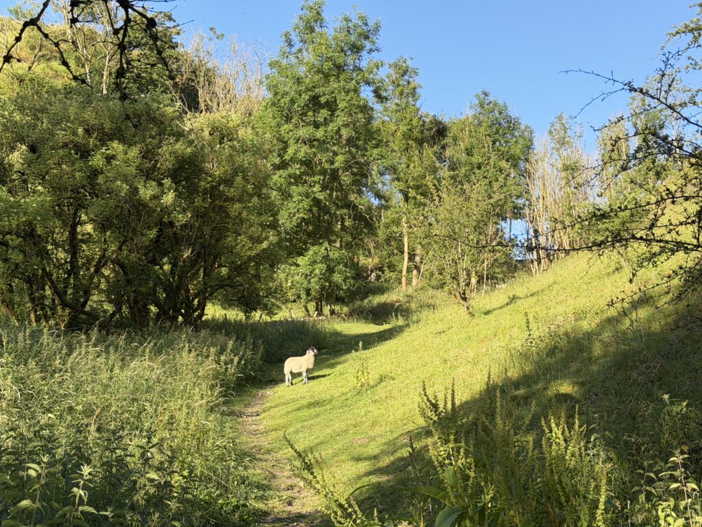
This is a circular route, starting easy on the riverside sections and then taking you into the hills and away from the crowds. On reaching Milldale you’ll head left up the road and another left to take you through trees and across fields. The footpath will bring you back down Hall Dale at the top and then up a steep incline near Ilam rock towards Bunster Hill before heading back towards Dovedale.
Tips & what to bring
Good footwear for steep and loose sections, the paths can also get muddy and very wet in winter. Remember to take plenty of water and snacks with you as there’s not a lot on route.
Eat & drink nearby
The closest pub is The Old Dog at Thorpe, there’s also a tea rooms in Ilam Park. There are more options in the neighbouring village of Hartington or Ashbourne which is a short drive away.



Places to stay nearby



More walks near here
Never Miss a Walk
New routes, hidden gems and honest reviews, straight to your inbox.
POIs nearby
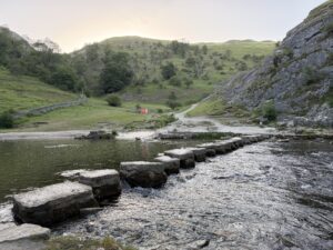 Dovedale Stepping Stones
Stepping stones across the river Dove 📍 0.4 miles away View on map →
Dovedale Stepping Stones
Stepping stones across the river Dove 📍 0.4 miles away View on map →
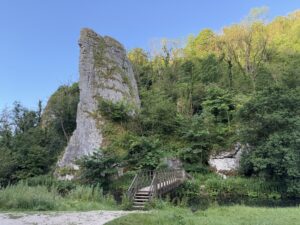 Ilam Rock
A 25m high limestone rock from 350 million years ago 📍 1.4 miles away View on map →
Ilam Rock
A 25m high limestone rock from 350 million years ago 📍 1.4 miles away View on map →
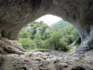 Dove Holes Cave
Natural limestone caves formed 350 million years ago 📍 1.6 miles away View on map →
Dove Holes Cave
Natural limestone caves formed 350 million years ago 📍 1.6 miles away View on map →
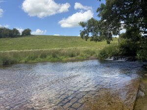 Tissington Ford
A river that crosses the road in Tissington 📍 3.4 miles away View on map →
Tissington Ford
A river that crosses the road in Tissington 📍 3.4 miles away View on map →
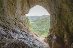 Thor's Cave
A 10m high cavern entrance 📍 3.9 miles away View on map →
Thor's Cave
A 10m high cavern entrance 📍 3.9 miles away View on map →
 Wetton Caves
Limestone open top cave 📍 4.5 miles away View on map →
Wetton Caves
Limestone open top cave 📍 4.5 miles away View on map →