
🗺️ The route
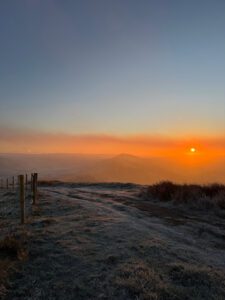
Free to viewThis has to be one of the most rewarding sunrise spots in the Peak District. Mam Tor sits high above the village of Castleton and its easy to see why this place is so popular with tourists and locals alike. With the car park being only a short 10 minute walk from the summit, if you’ve not done this one yet then we highly recommend it.
What to expect
On leaving the car park you’ll walk a short distance along the roadside footpath before reaching the steep steps, we know its a tough start but once you get to the top of here you will be amazed by the 360 views. The footpath along the Great Ridge is slabbed and so is good for all weather conditions but on heading down the hillside into Castleton, it can get muddy after heavy rainfall, so boots are recommended.
Sunrise is our favourite time to head here but it does get busy, if you’d rather have a quieter summit then consider coming for sunset, which is also beautiful.


Getting there & parking
Parking – Mam Nick car park – S33 8WA. This is a pay and display car park, also payable by the PayByPhone app or FREE for National Trust members. there is also limited lay-by parking on the roadside just down from this car park, but do bear in mind parking here is well monitored and you will get a ticket if parked illegally.
Good to know
Yes, along the route.
On lead only.
Expect stone flagstones, field paths underfoot. What we wear for it ↓
The nearest train station is Hope Station which is 4.5 miles away.
The route
- 5.5 Miles
- 3-4 Hours
- Moderate
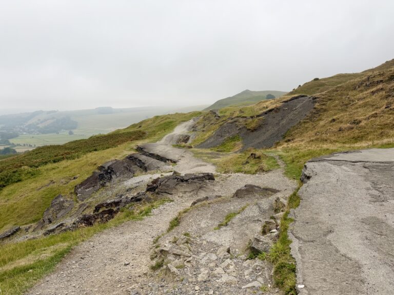
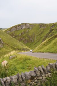
This is a short circular route with big views. Once you’ve climbed the steep steps to Mam Tor trig point you’ll follow the Great Ridge towards Back Tor but turning back on yourself at Hollins Cross. This will take you down to join the ‘Broken Road’ before reaching Castleton where you can stop for refreshments before heading back up Winnats Pass, across the fields and back to the car.
- Mam Tor
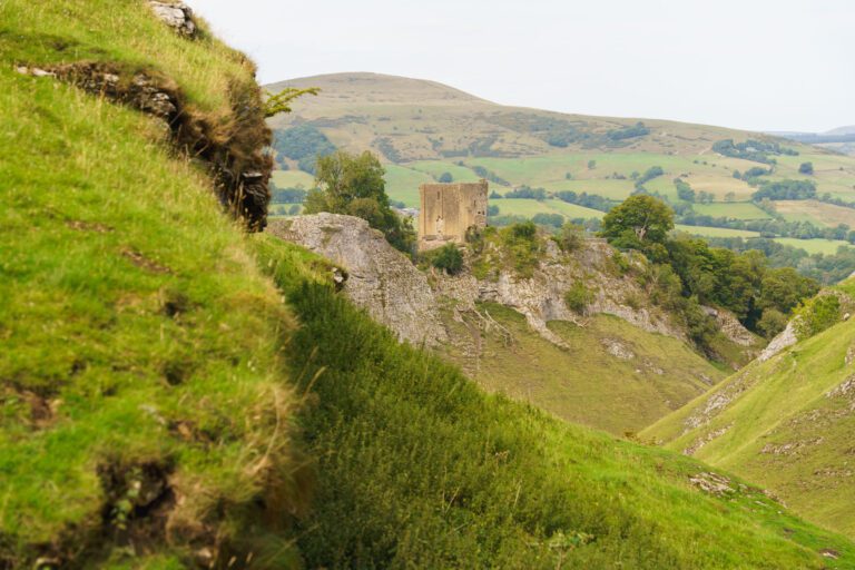
- Winnats Pass
Step-by-step
- From the car park, head up the steep steps to Mam Tor trig point.
- Follow the great ridge along until you get to Hollins Cross (an obvious cross of footpaths)
- Turn down the footpath that goes almost back on yourself.
- Follow this path towards the old road and into Castleton.
- Climb up the steep Winnats Pass to get back to the start.
- You'll see a footpath on your right as you climb, take this.
- This will take you through fields, across the road and back to the car park.
Your walk
Heading out? Take this walk with you
Free members get the tools to follow it on the day, so you're not relying on phone signal.
- GPX downloadFor your phone, watch or Komoot.
- Printable route cardOne page with the route, pit stops and an emergency line.
- Track it & get the stampTick it off and add the miles to your log.
Tips & what to bring
Although this is a short and easy to follow route, having an offline map, or paper map & compass (& knowing how to use it) is always recommended. Be aware that temperatures can be much lower before sunrise and after sunset even in summer so layers are essential.
What we'd pack for this walk
See how we wear it →Kit we actually use, picked for this route.
-
Our everyday pick We both wearLa Sportiva TX4
Grippy, supportive approach shoe we wear on rockier Peak trails.
-
Cold before the sun comes up Char wearsRab Microlight Alpine (Women's)
Lightweight, packable down jacket for cold starts and summit stops.
-
A brew at the top We both useJetboil Stove
Fast, efficient stove for a brew or a hot meal on the trail.