
🗺️ The route
Free to viewYou have seen the route. Take it to Komoot or your GPS watch so you are not following a phone signal you might not have.
Join free to downloadOften referred to as a one of the best walks in the Peak District and a challenge to many, the Edale Skyline takes in some of the best views in the area in a 20-24 mile loop, depending on exact route, start and end points. If you’re looking for a bigger day hike, you’ll love this.
What to expect
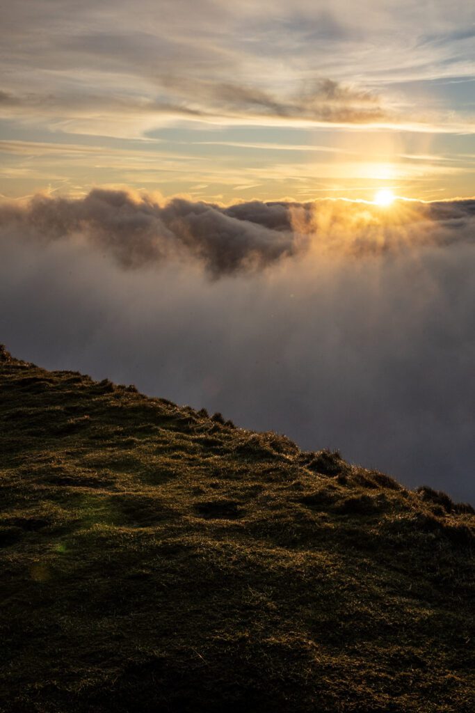
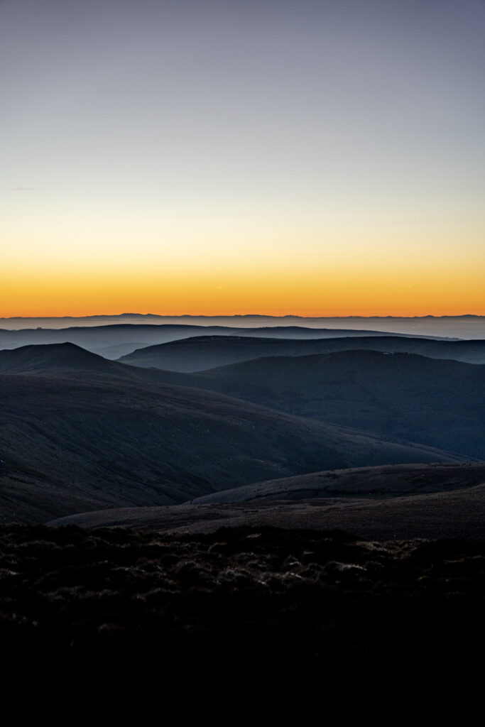
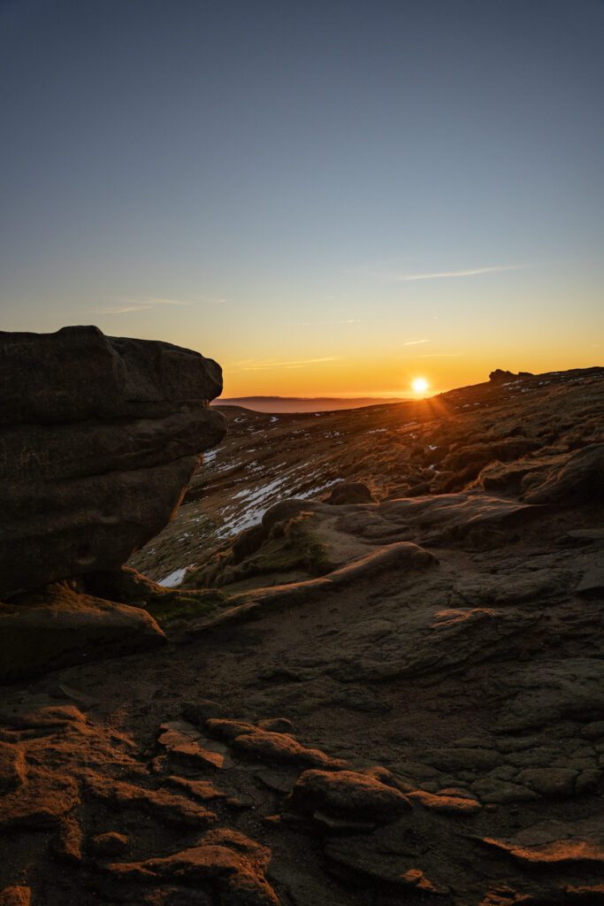
Expect beautiful views across the Hope and Edale Valley all day long. For much of the route you’ll be alone with no one, or nothing, only you and the moors as far as the eye can see, perfect for those of you that prefer a quiet walk.
A lot of this route is slabbed and stone paths which makes it good for all year round walking but there are certain sections that do get muddy after periods of heavy rainfall. Be sure to take plenty of water, snacks and layers with you on this one as there is nowhere to top up or stop off on route.
Getting there & parking
The best place to park is Hope Station, use postcode S33 6RD. At the time of writing (June 2026) an all day ticket cost just £2.20.
Good to know
You'll find pay & Display parking at the start of the walk. Postcode for sat nav: S33 6RR.
Not on the route itself, but there are some nearby.
No, dogs aren't allowed on this walk.
Expect flagstone paths, moorland underfoot.
The route
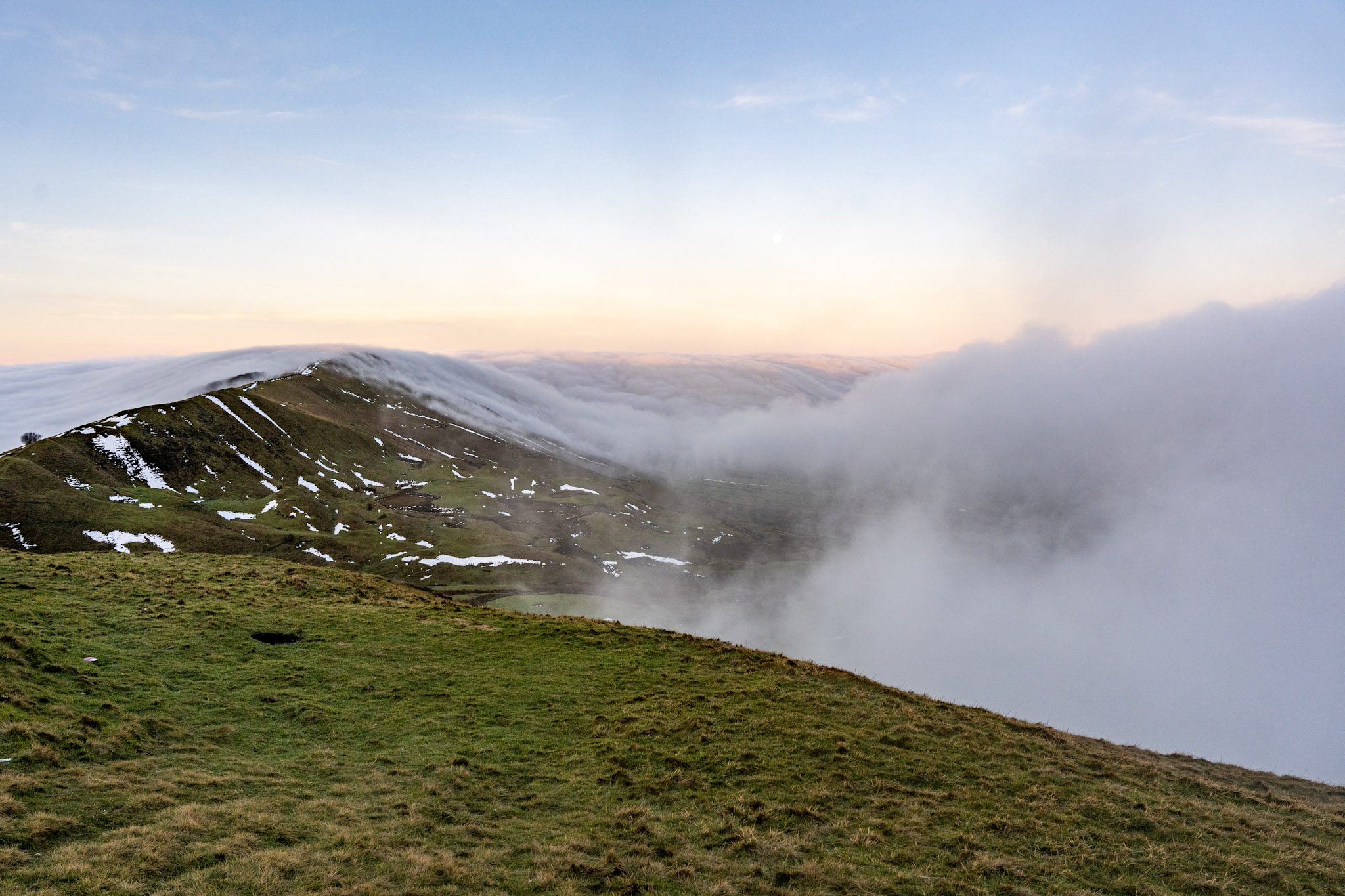
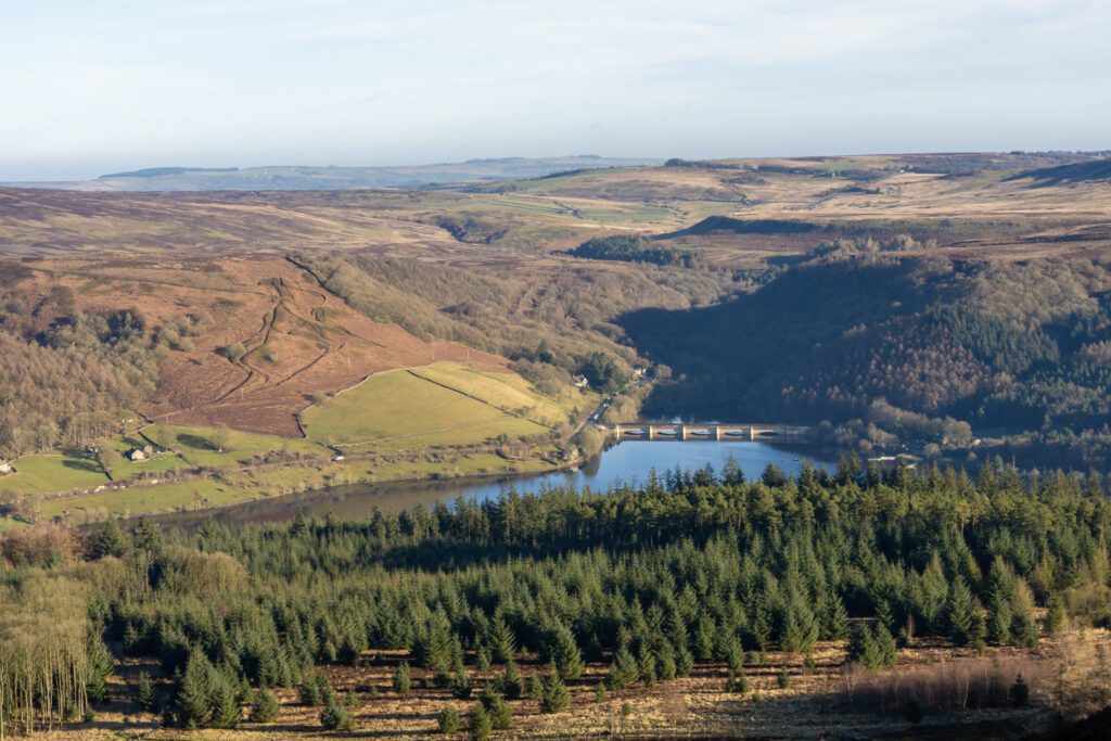
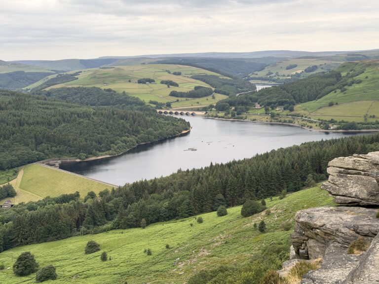
Starting with one of your biggest climbs of the day you’ll cross the railway bridge and head up Win Hill with beautiful views across Ladybower reservoir. The route levels out slightly at the top on a mix of stone paths and through fields. There are a number of smaller climbs across the day and there’s quite a lot of elevation on this route, which is expected on a big Peak District walk, but we promise the views and sense of achievement you’ll get at the end are definitely worth it! At Edale cross you’ll head towards Brown Knoll trig point and for the next stretch you’ll be on Derbyshire flagstones, these make walking and following the path very easy. At the end of the flags you’ll get to a stone path which will lead you left towards Rushup Edge and finally onto Mam Tor and the Great Ridge before descending into Hope from Losehill.
Tips & what to bring
Make sure you bring plenty of water, food and layers for a long all daywalk. Even when the sun is out, the weather on the tops can change quickly. There is no where to stop on route so you need to be self sufficient on this one. Good footwear and cofortable clothing are a must. Make sure to download the map too as if the fog comes in, it can be tricky to navigate.
Eat & drink nearby
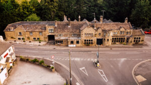
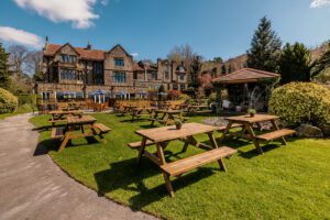
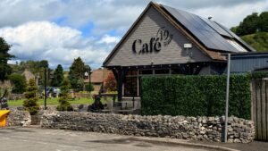
There are a range of pubs and cafes in both Castleton and Hope for post walk food, pre walk coffees and a few small shops for on the trail snacks.

Places to stay nearby
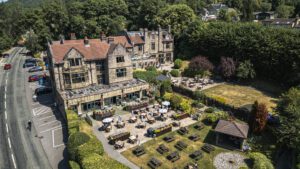

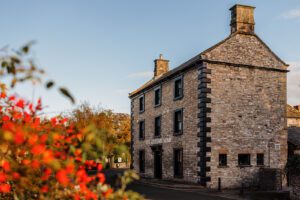
More walks near here
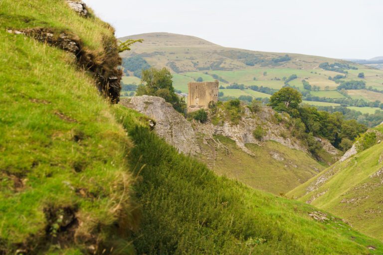
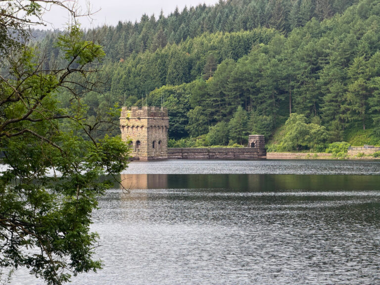
Never Miss a Walk
New routes, hidden gems and honest reviews, straight to your inbox.
POIs nearby
 Hathersage Stepping Stones
Stepping stones across the River Derwent 📍 2.5 miles away View on map →
Hathersage Stepping Stones
Stepping stones across the River Derwent 📍 2.5 miles away View on map →
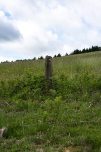 Robin Hood's Stoop
Robin Hood shot an arrow from here to Little Johns grave 📍 2.8 miles away View on map →
Robin Hood's Stoop
Robin Hood shot an arrow from here to Little Johns grave 📍 2.8 miles away View on map →
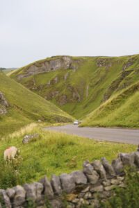 Winnats Pass
A spectacular limestone gorge and road 📍 2.9 miles away View on map →
Winnats Pass
A spectacular limestone gorge and road 📍 2.9 miles away View on map →
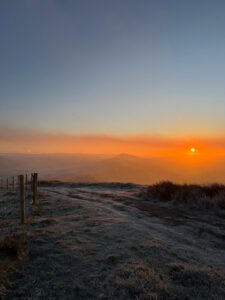 Mam Tor
The Great Ridge or the Shivering Mountain 📍 3.3 miles away View on map →
Mam Tor
The Great Ridge or the Shivering Mountain 📍 3.3 miles away View on map →
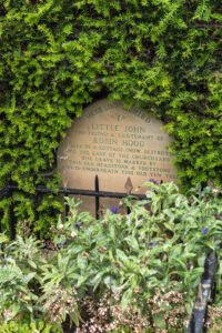 Little Johns Grave
The resting place of Robin Hood's sidekick 📍 3.4 miles away View on map →
Little Johns Grave
The resting place of Robin Hood's sidekick 📍 3.4 miles away View on map →
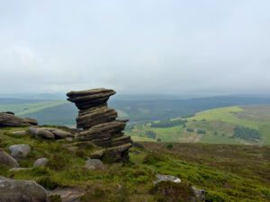 The Salt Cellar
A gritstone rock formation on Derwent Edge 📍 3.5 miles away View on map →
The Salt Cellar
A gritstone rock formation on Derwent Edge 📍 3.5 miles away View on map →