
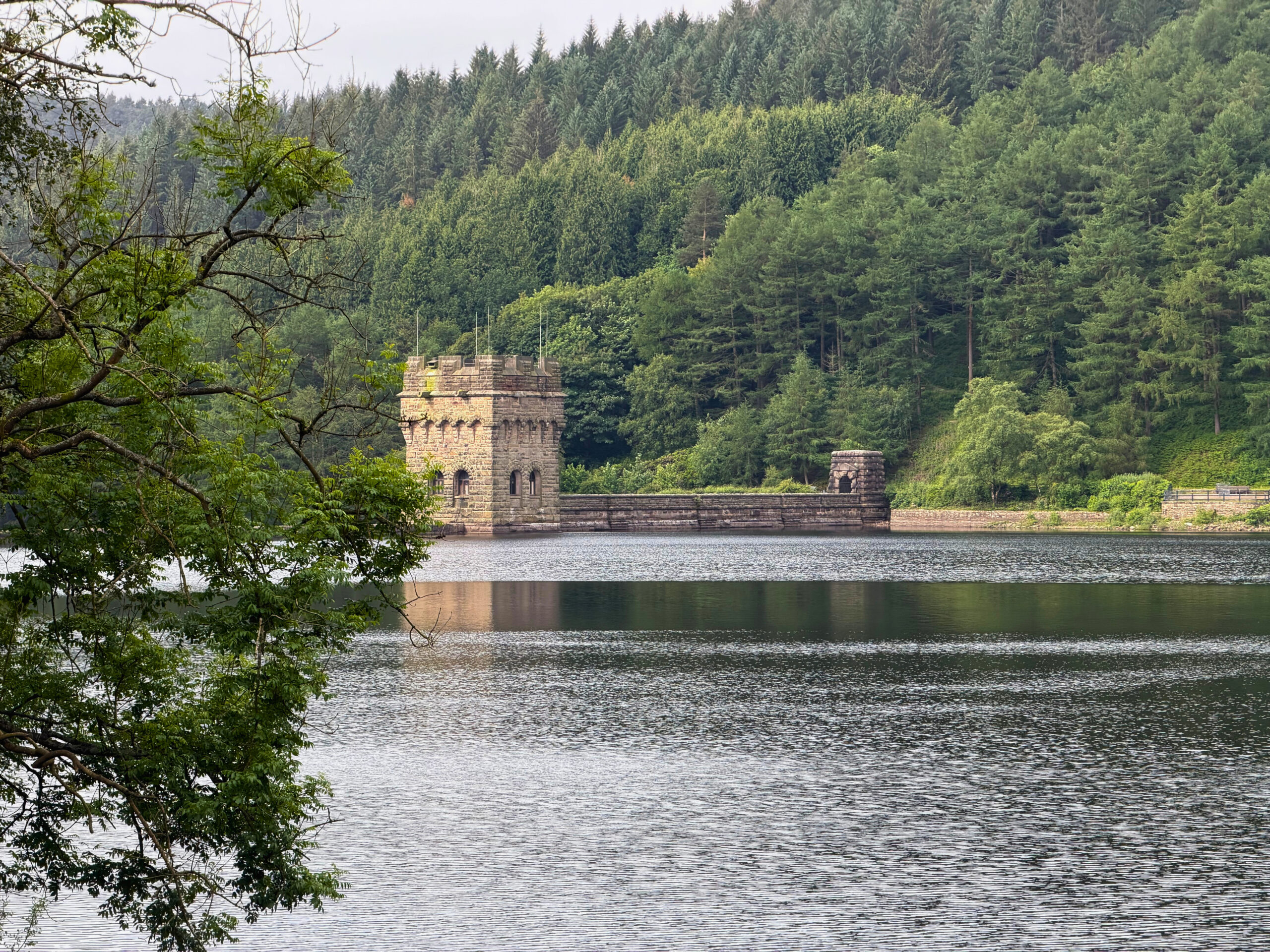
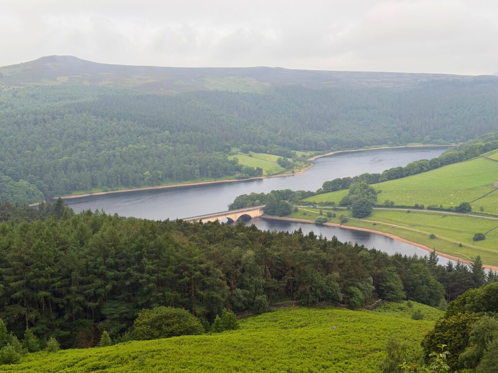
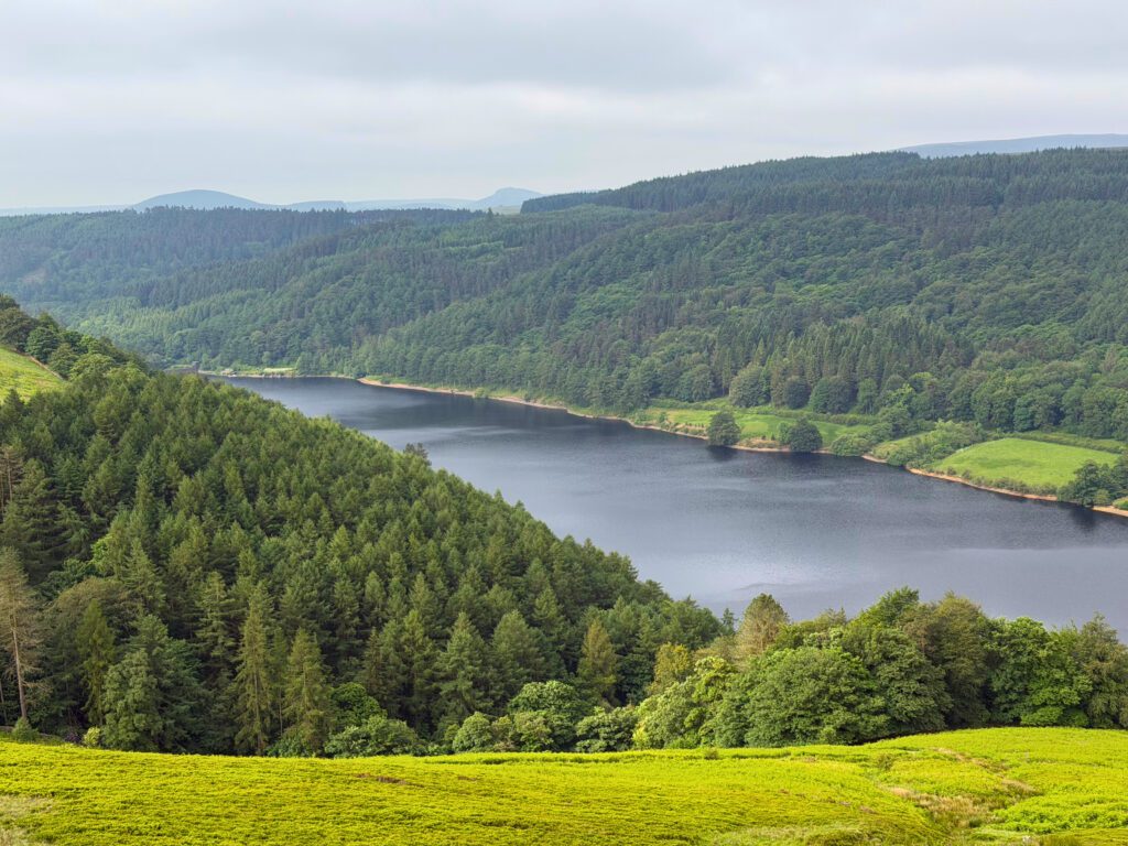
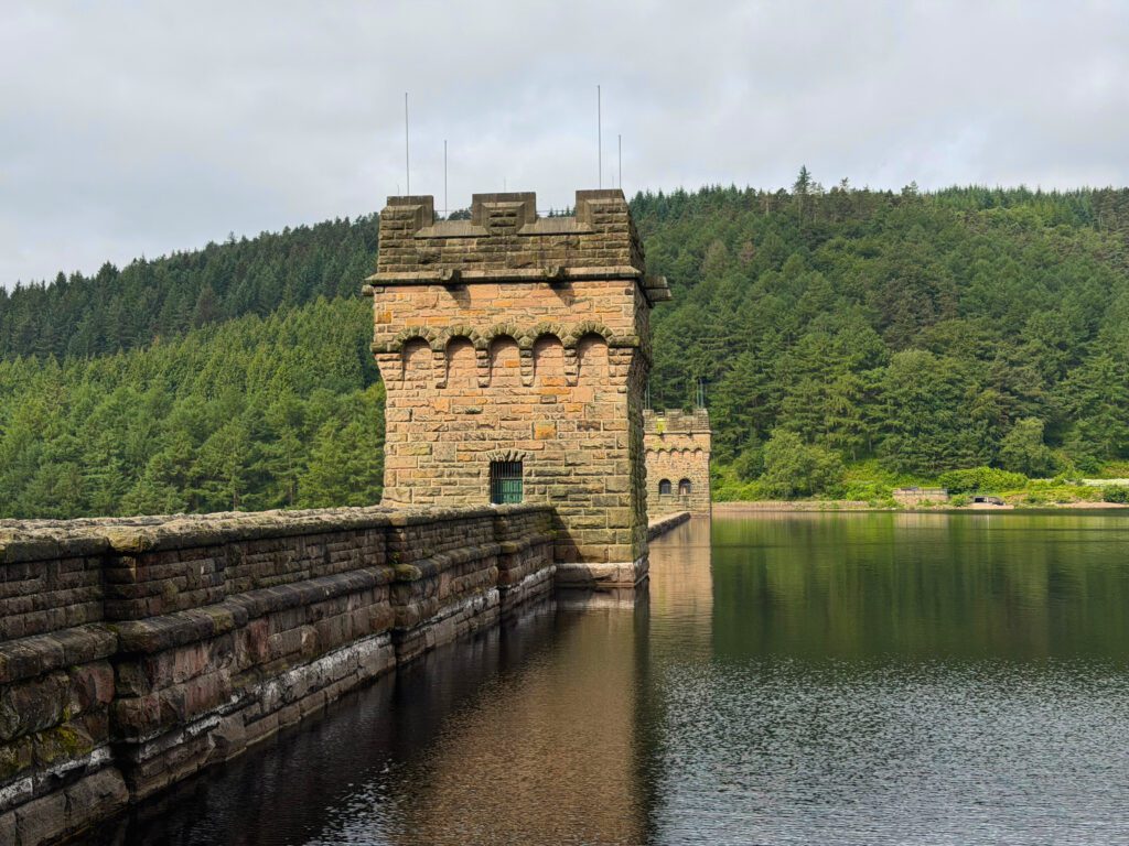
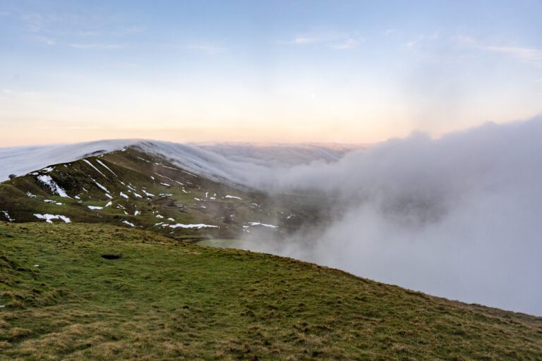
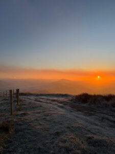
A 10 mile walk along Derwent Edge with amazing views over Ladybower Reservoir. This walk has it all, it’s quiet with amazing views and peaceful woodland trails towards the end.

What to expect
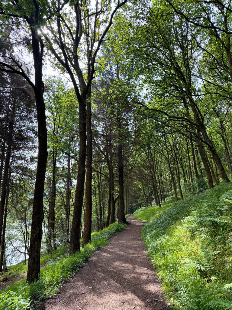
We always think of the walk as a good year round option, the route is mainly paved or stone so it doesn’t really get muddy like a lot of other Peak District trails. The scenery is beautiful in all seasons and a lot of people head here during heather season in August / September time.

Getting there & parking
You can park free alongside Ladybower Reservoir using postcode S33 0AX as a guide and there is more parking at Fairholmes car park, S33 0AQ, which is pay & display with toilets.
The route
This is a circular route starting with the hardest climb first whichever way you do it. Once you’re on the edge its a pretty easy to follow route, the path is really clear and well marked and on reaching the reservoir, you just follow it, although make sure you don’t head the wrong way, as you’ll be doubling your distance if so.
Tips & what to bring
The weather can change very quickly up here and even when it feels warm at the bottom, the top could be windy and feel ice cold, so make sure you pack extra layers, waterproofs and remember plenty of water and snacks.
Eat & drink nearby
There’s a little cafe at the visitor centre, they sell some choices of hot food, drinks and snacks. You’ve also got a few pubs on the main road not too far from where you’ve parked.

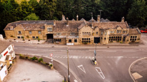


Places to stay nearby
Pair this walk with somewhere we have stayed and rated nearby.
More walks near here

Never Miss a Walk
New routes, hidden gems and honest reviews, straight to your inbox.
POIs nearby
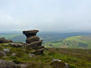 The Salt Cellar
A gritstone rock formation on Derwent Edge 📍 1.4 miles away View on map →
The Salt Cellar
A gritstone rock formation on Derwent Edge 📍 1.4 miles away View on map →
 Hathersage Stepping Stones
Stepping stones across the River Derwent 📍 3.3 miles away View on map →
Hathersage Stepping Stones
Stepping stones across the River Derwent 📍 3.3 miles away View on map →
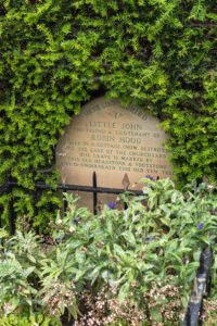 Little Johns Grave
The resting place of Robin Hood's sidekick 📍 3.7 miles away View on map →
Little Johns Grave
The resting place of Robin Hood's sidekick 📍 3.7 miles away View on map →
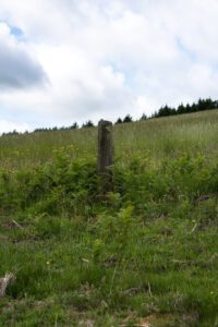 Robin Hood's Stoop
Robin Hood shot an arrow from here to Little Johns grave 📍 3.8 miles away View on map →
Robin Hood's Stoop
Robin Hood shot an arrow from here to Little Johns grave 📍 3.8 miles away View on map →
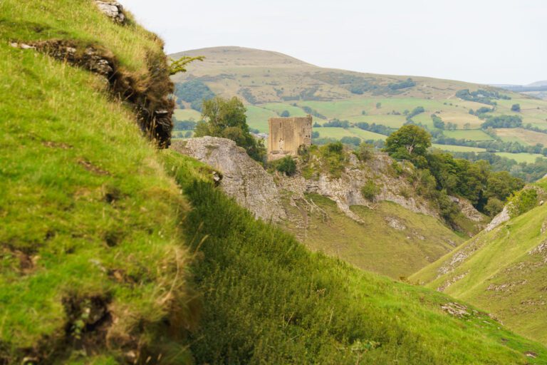
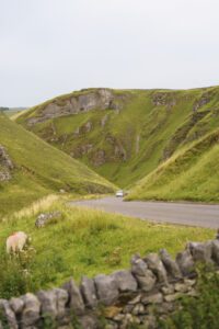 Winnats Pass
A spectacular limestone gorge and road 📍 4.5 miles away View on map →
Winnats Pass
A spectacular limestone gorge and road 📍 4.5 miles away View on map →
 Mam Tor
The Great Ridge or the Shivering Mountain 📍 4.6 miles away View on map →
Mam Tor
The Great Ridge or the Shivering Mountain 📍 4.6 miles away View on map →