🗺️ The route
Free to viewYou have seen the route. Take it to Komoot or your GPS watch so you are not following a phone signal you might not have.
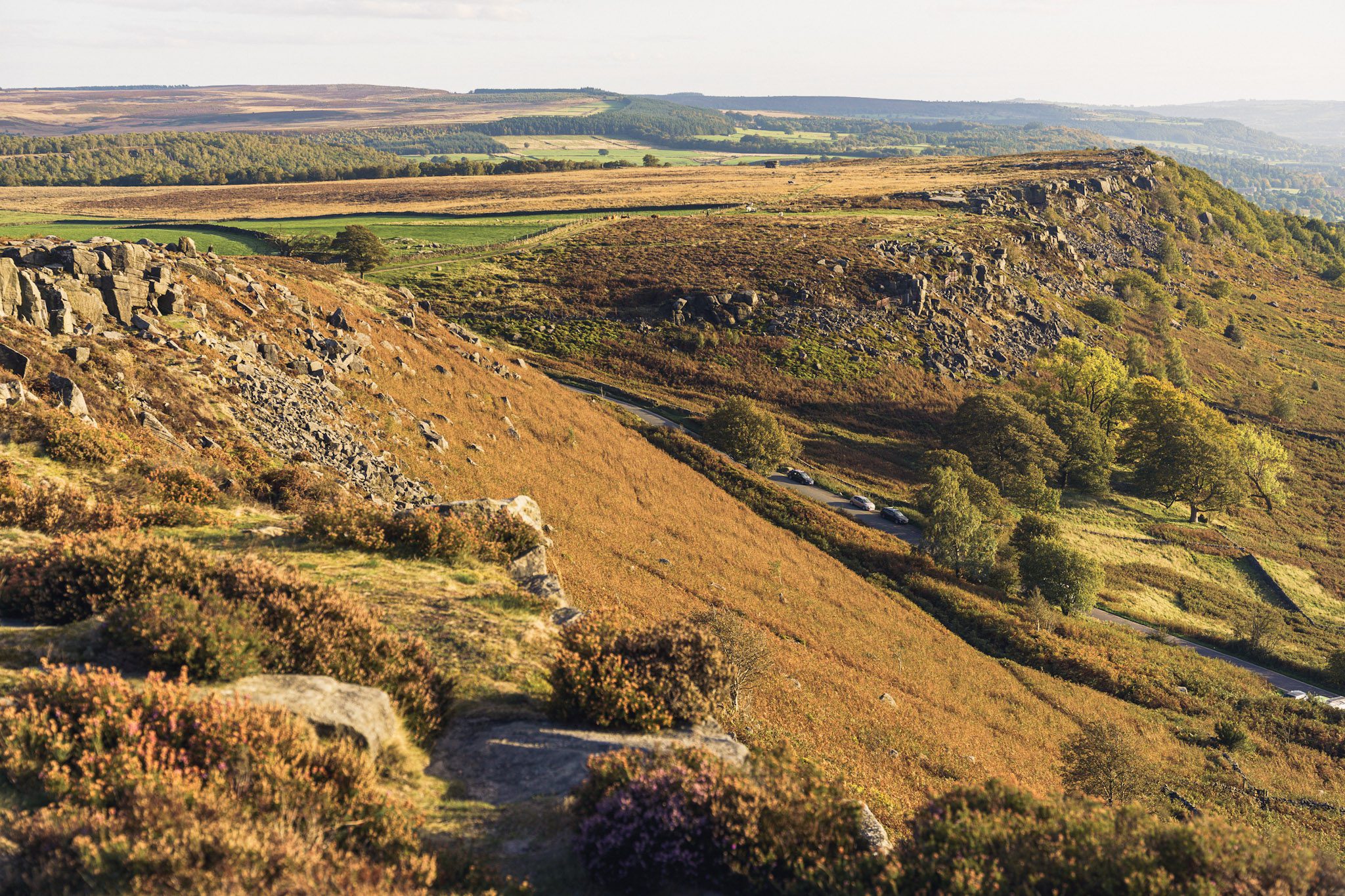
Join free to downloadCurbar Edge is the perfect place to walk after a long day when you just want to get out for an hour or two. This route takes you across the edge and back again making it super easy to follow but with amazing views across the valley below.
What to expect
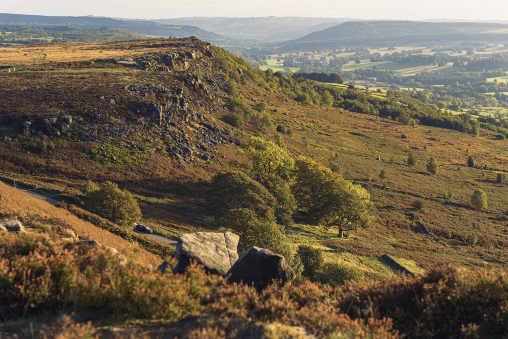
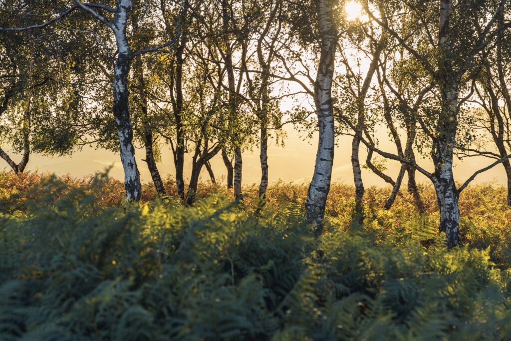
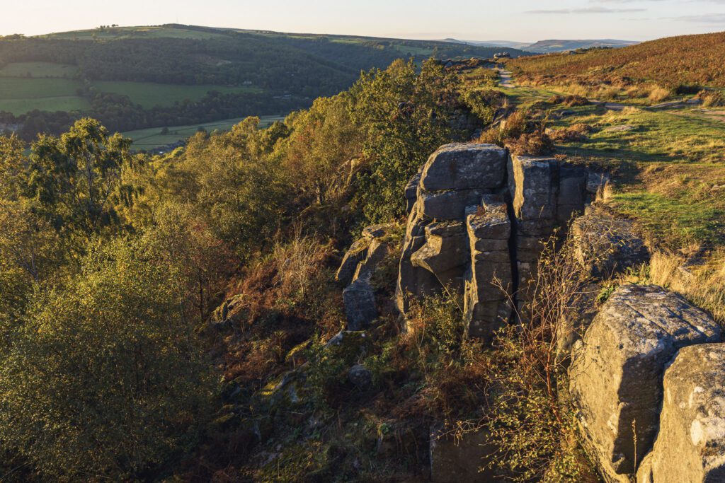
With it being the highest point around, this walk will give you amazing views and a dramatic gritstone edge one side and open moorland views the other.
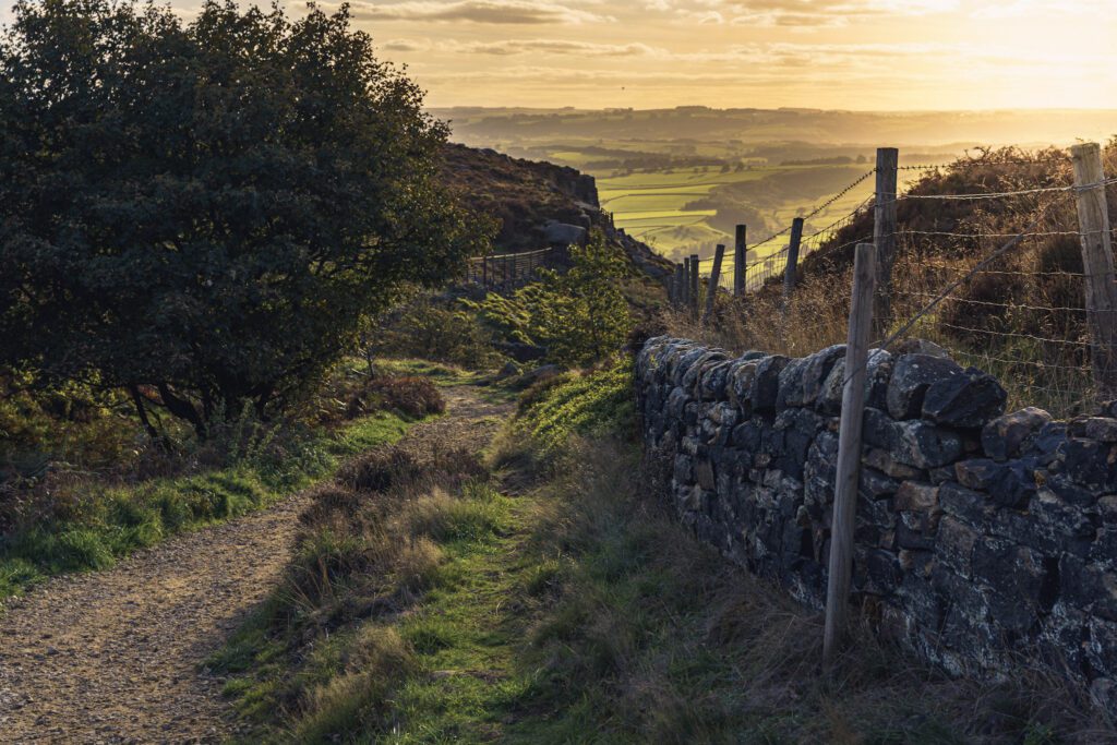
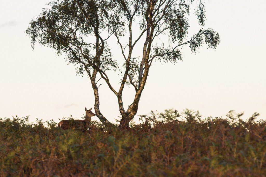
The path here is well trodden, super easy to follow and good year round. There are many deer that frequent this edge so its well worth keeping your eye out for these on this walk too, we love seeing them.
Getting there & parking
You can park in Curbar Gap car park using postcode S32 3YR, if you visit at a quieter time you may be able to get parked in the free lay-bys below but these do fill up very quickly.
Good to know
You'll find pay & Display parking at the start of the walk. Postcode for sat nav: S32 3YR.
No, there aren't any on this route.
On lead only.
Expect stone paths underfoot. What we wear for it ↓
The route
- 3.4 Miles
- 2 Hours
- Easy
This is a simple out and back route, taking you from the car park across Curbar Edge and onto Frogatt Edge before turning around and heading back the way you came.
Step-by-step
- From the car park, looking down the road towards Calver you will have Baslow Edge on your left and Curbar Edge to your right, head right.
- Follow the footpath through the gate.
- Once through you will be walking along Curbar Edge, you can get closer to the edge to see the views if you like or stick to the main path and follow it along.
- The path you start on is the one you will stick with on this route.
- If like us you're visiting for sunset, you can either find a nice spot to sit or walk across the edge until its time to turn back.
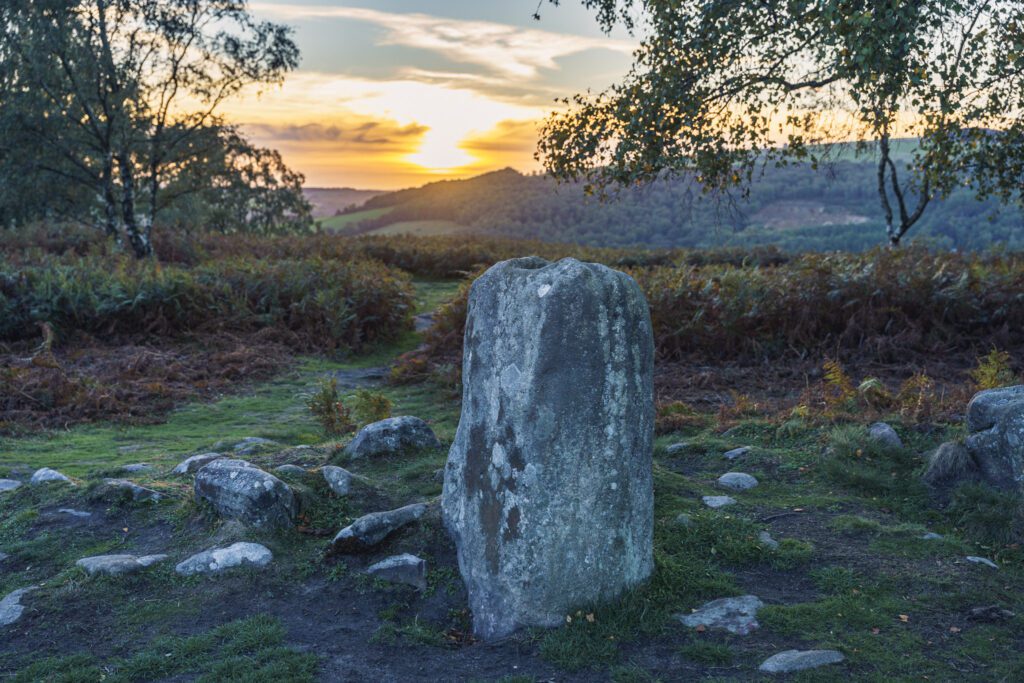
- Our turn back point was the stone circle just under 2 miles in.
- To get back to the start, simply return the way you came.
Heading out? Take this walk with you
Free members get the tools to follow it on the day, so you're not relying on phone signal.
- GPX downloadFor your phone, watch or Komoot.
- Printable route cardOne page with the route, pit stops and an emergency line.
- Track it & earn badgesTick it off and add the miles to your log.
Tips & what to bring
The temperatures up here can be deceiving, as it’s quite an exposed edge with no shelter it can get very windy and cold, meaning you can easily get caught out in bad weather, make sure you pack extra layers and waterproofs. If you’re coming here to watch the sunset, a flask of something warm would be the perfect accompaniment to your evening.
What we'd pack for this walk
See how we wear it →Kit we actually use, picked for this route.
-
For snacks, water and extra layers Char usesOsprey Skarab 30L
A comfortable day pack with a hydration sleeve for full days out.
-
Grip on rock We both wearLa Sportiva TX4
Grippy, supportive approach shoe we wear on rockier Peak trails.
-
For when the sun goes down Char wearsRab Microlight Alpine (Women's)
Lightweight, packable down jacket for cold starts and summit stops.
Eat & drink nearby
Although theres nothing in the immediate area, The Maynard at Grindleford do great food and if you want more choice, Bakewell is about a 20 minute drive away.
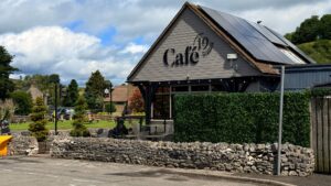
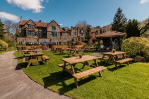
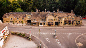
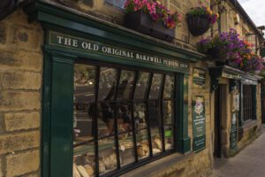
Add a pit stop near the finish and somewhere to stay, all places we've been to ourselves.
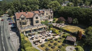
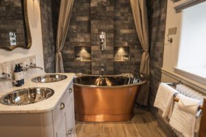
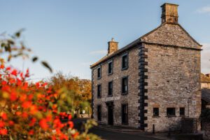
Places to stay nearby
More walks near here


Never Miss a Walk
New routes, hidden gems and honest reviews, straight to your inbox.
POIs nearby
 Baslow Edge Highland Cows
Often seen roaming along this edge but please keep your distance 📍 On the route View on map →
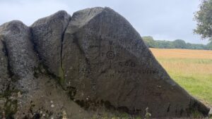 Jubilee Rock
A historic rock carved with the national anthem to commemorate Queen Victoria's jubilee 📍 1.7 miles away View on map →
 Granby Discovery Barn
Full of information about the local areas flora, fauna and history 📍 3.3 miles away View on map →
 Ice Cream Van
The perfect stop off on a hot day - cash only. 📍 3.3 miles away View on map →
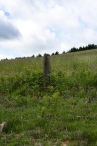 Robin Hood's Stoop
Robin Hood shot an arrow from here to Little Johns grave 📍 4.6 miles away View on map →
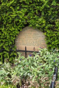 Little Johns Grave
The resting place of Robin Hood's sidekick 📍 4.8 miles away View on map →