🗺️ The route
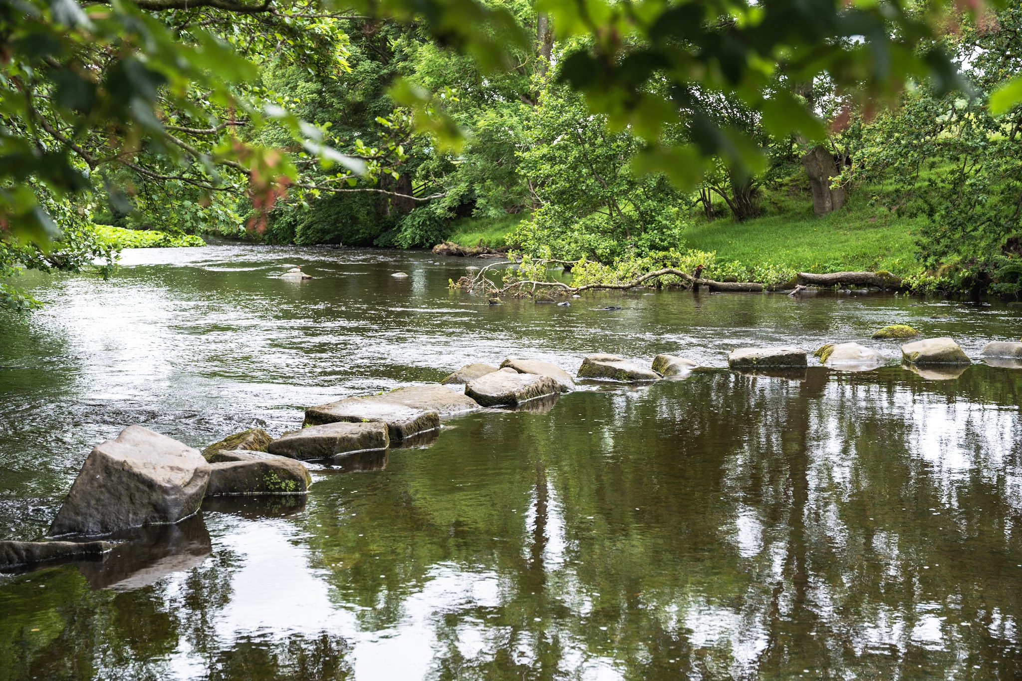
Free to viewThese are some of the best stepping stones in the Peak District and you can do them in a short 3 mile loop starting and ending in the beautiful village of Hathersage.
What to expect
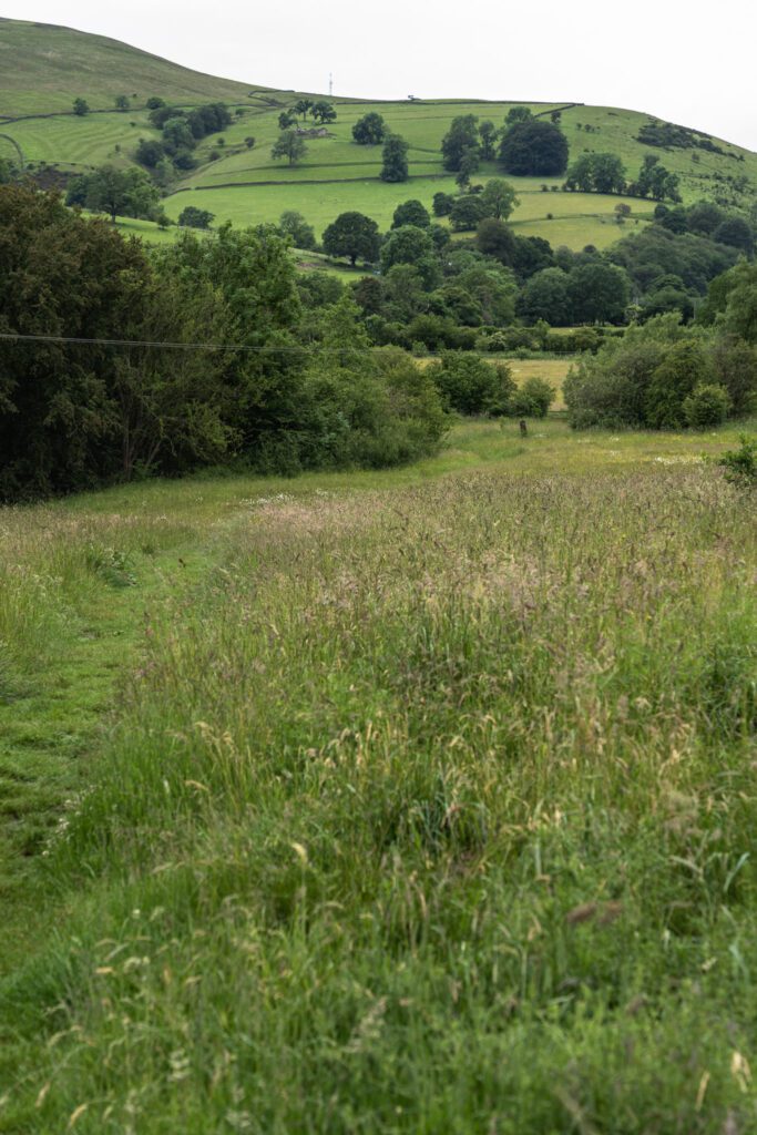
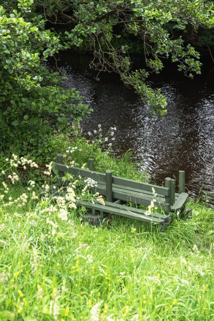
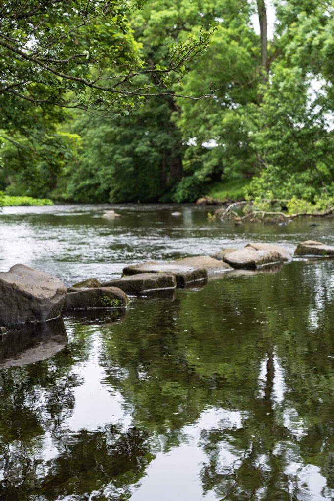
You’ll start roadside on the pavement before heading through field paths and towards the river Derwent. These stepping stones are in good order but there are a couple that are much larger than the others, meaning if you’re anything like us, you might have to crawl over some of them.
Crossing the stepping stones can be tricky, they’re not even and can be slippery, just take your time when crossing.
Getting there & parking
Parking – Oddfellows car park – S32 1DU, this isn’t massive and Hathersage does get busy on the weekends. There is also a smaller car park at the train station if this one is full – Use postcode S32 1DJ for that one.
Good to know
Not on the route itself, but there are some nearby.
No, dogs aren't allowed on this walk.
Expect riverside paths, stepping stones and pavement underfoot. What we wear for it ↓
The route
- 3.1 Miles
- 1-2 Hours
- Easy–Moderate
This is a beautiful circular route, starting and ending roadside but with a magical river path and stepping stones in the middle. Head along the main road through Hathersage towards Hope and after about 5 minutes you’ll see a footpath on your left, this will take you to join the river and after a short way along there you’ll see and be able to cross the stepping stones. Once you’re over the river, just stick with it and that will take you all the way back into the village. Turn left at the road, go under the train bridge and you’ll be able to see the car park.
- Hathersage Stepping Stones
Step-by-step
- From the car park, head out the village along the main A6187 towards Hope.
- After roughly 5/10 minutes of walking you'll pass under the bridge and shortly after will see a footpath on your left hand side, you want to take this.
- Follow this path through a couple of fields before you'll see the stepping stones.
- Take your time on these and once you're across, follow the river all the way to the road.
- Turn left here and follow it past the cutlery factory, under the bridge and back to your car.
Your walk
Heading out? Take this walk with you
Free members get the tools to follow it on the day, so you're not relying on phone signal.
- GPX downloadFor your phone, watch or Komoot.
- Printable route cardOne page with the route, pit stops and an emergency line.
- Track it & get the stampTick it off and add the miles to your log.
Tips & what to bring
Sturdy footwear for the stepping stones and riverside paths. There are many outdoor shops in the village worth nipping in too if you have time.
What we'd pack for this walk
See how we wear it →Kit we actually use, picked for this route.
-
For the stepping stones We both wearLa Sportiva TX4
Grippy, supportive approach shoe we wear on rockier Peak trails.
-
Always in the pack Ads wearsRevolutionRace Waterproof Jacket
Bright, fully waterproof shell for proper British weather. Ads' go-to in the orange.
-
Room for water & snacks Char usesDeuter Speed Lite 23
Lightweight, low-bulk pack for fast, lighter days.