🗺️ The route
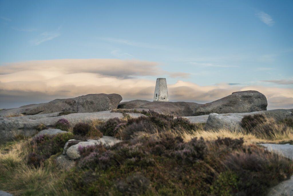
Free to viewThis is a beautiful walk and it’s only a short distance up to incredible views, great caves and a trig point. If you head left a little further past the caves you’ll even find a second trig point for any ‘trig baggers’. The views across the countryside below is one of the most dramatic views in the Peak District.


What to expect
There is a stone path to follow up towards the edge, on top the footpath is mainly gritstone meaning it’s a great year round route and never gets really wet or muddy like some paths in this area.
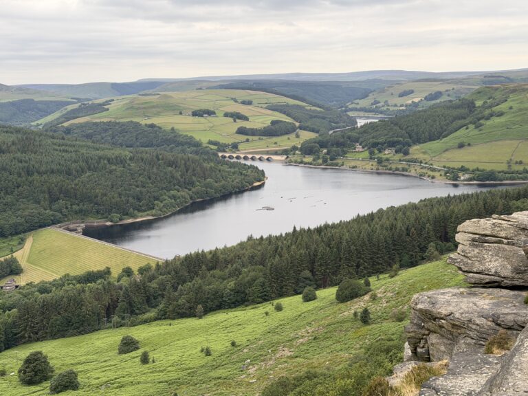
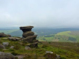
The views from here across the Hope Valley are amazing, you’ll look towards Bamford Edge, Mam Tor and Lose Hill. The gritstone edge on the landscape is dramatic but it can get really windy and there are cracks and sharp drops across it all, so


Getting there & parking
Park in Hooks Carr car park just below Stanage edge – S32 1BR. This is a pay & display car park (payable 9am-6pm) and there’s another car park just the other side at Burbage bridge, use the same postcode to get there.
Good to know
No, there aren't any on this route.
On lead only.
Expect gritstone edge and moorland underfoot. What we wear for it ↓
The route
- 1.8 mile
- 1-2 hour
- Easy–Moderate
This is a T shaped route, you head onto the edge from the car park before turning left to find the caves and then right to find the trig point, you meet at the middle point before heading back to the start.
Step-by-step
- From the car park follow the main path up towards the edge.
- This is a short but steep climb.
- Once you're at the top, turn left and follow the edge.
- After about half a mile you will see a sandy trail leading down the edge on a slope.
- Follow this to arrive at Balcony Cave (we always thought this was Robin Hood's Cave)
- other people have told us the true Robin Hood's cave is just after this one and slightly below, but were yet to confirm.
- After visiting the caves, he'd along the gritstone edge, the same way you came.
- This will lead you to White Path Moss trig point.
- From here, you'll turn back on yourself again before heading back down the way you came.
Your walk
Heading out? Take this walk with you
Free members get the tools to follow it on the day, so you're not relying on phone signal.
- GPX downloadFor your phone, watch or Komoot.
- Printable route cardOne page with the route, pit stops and an emergency line.
- Track it & get the stampTick it off and add the miles to your log.

Tips & what to bring
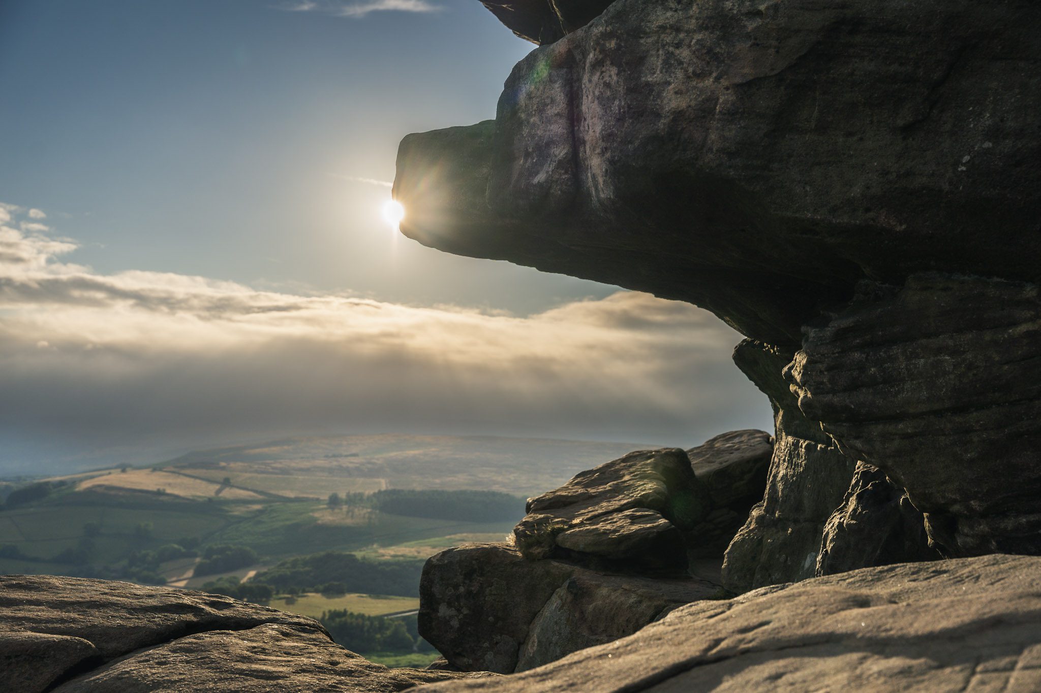
This is a great spot to watch the sunset as its quick to get to the top and the views are amazing. The edge is very exposed and the wind can really get up here, be sure to bring extra layers and a hot drink if you’re waiting for the sun to set. The rocks especially close to the edge have a lot of sharp drops in them so keep children and dogs close.
What we'd pack for this walk
See how we wear it →Kit we actually use, picked for this route.
-
Grip on rock We both wearLa Sportiva TX4
Grippy, supportive approach shoe we wear on rockier Peak trails.
-
For when the sun goes down Char wearsRab Microlight Alpine (Women's)
Lightweight, packable down jacket for cold starts and summit stops.
-
A brew at the top We both useJetboil Stove
Fast, efficient stove for a brew or a hot meal on the trail.