
🗺️ The route
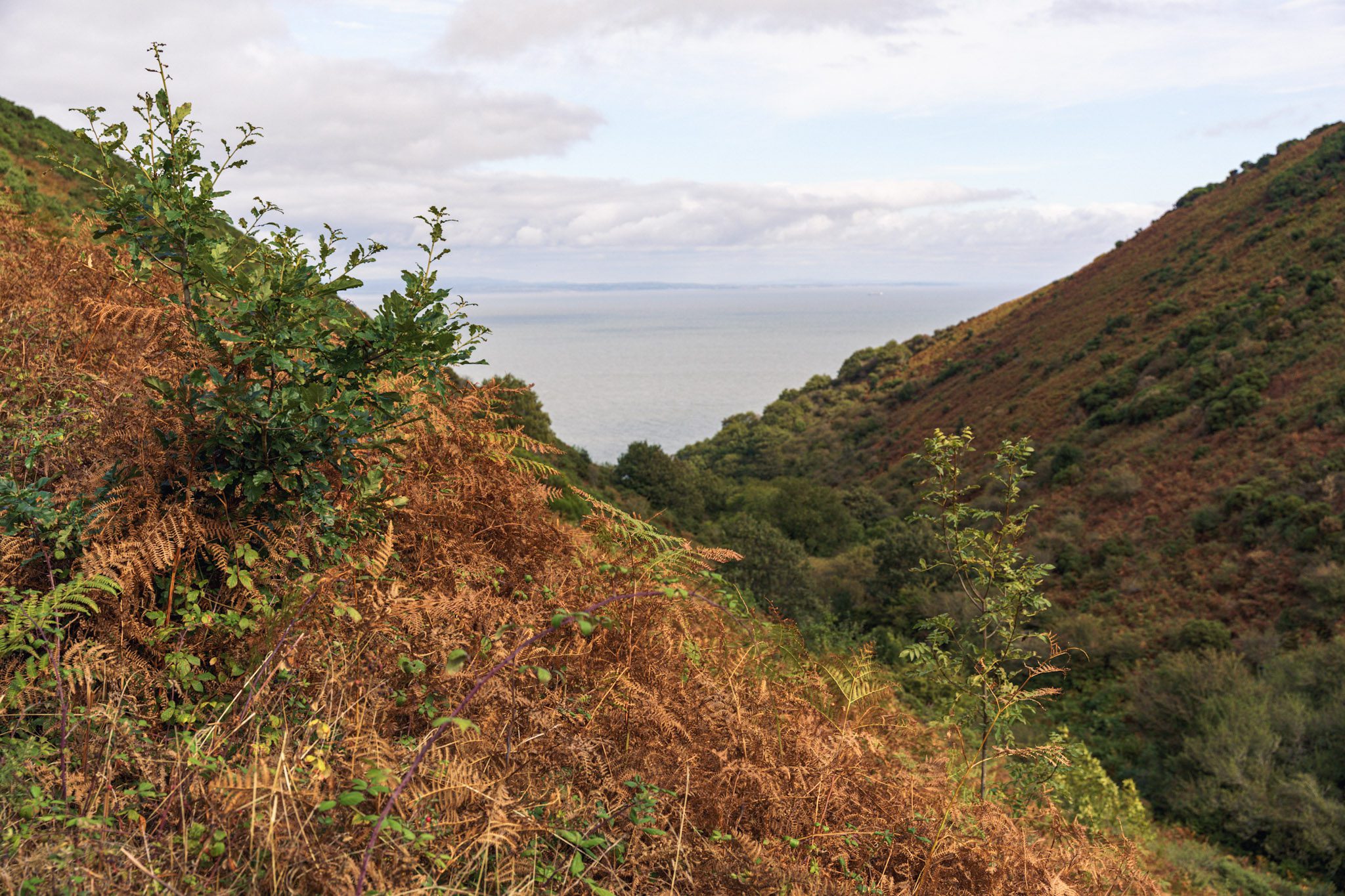
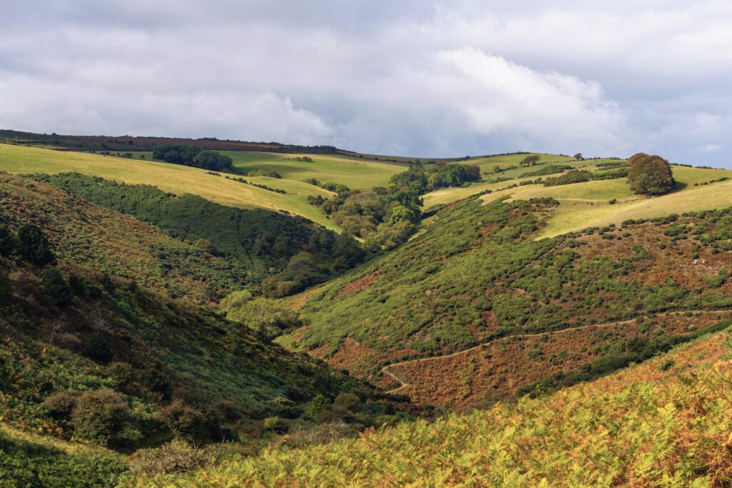
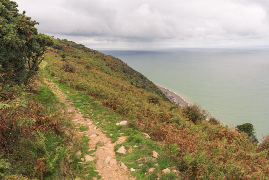
Free to viewThis stretch of the South West Coast Path is an introduction into what to expect from the complete trail, if that’s something you intend to do. You will get beautiful coastline views, walk through magical woodland but also have a lot of elevation. Don’t underestimate this route, it’s certainly a tough 9 mile.
What to expect
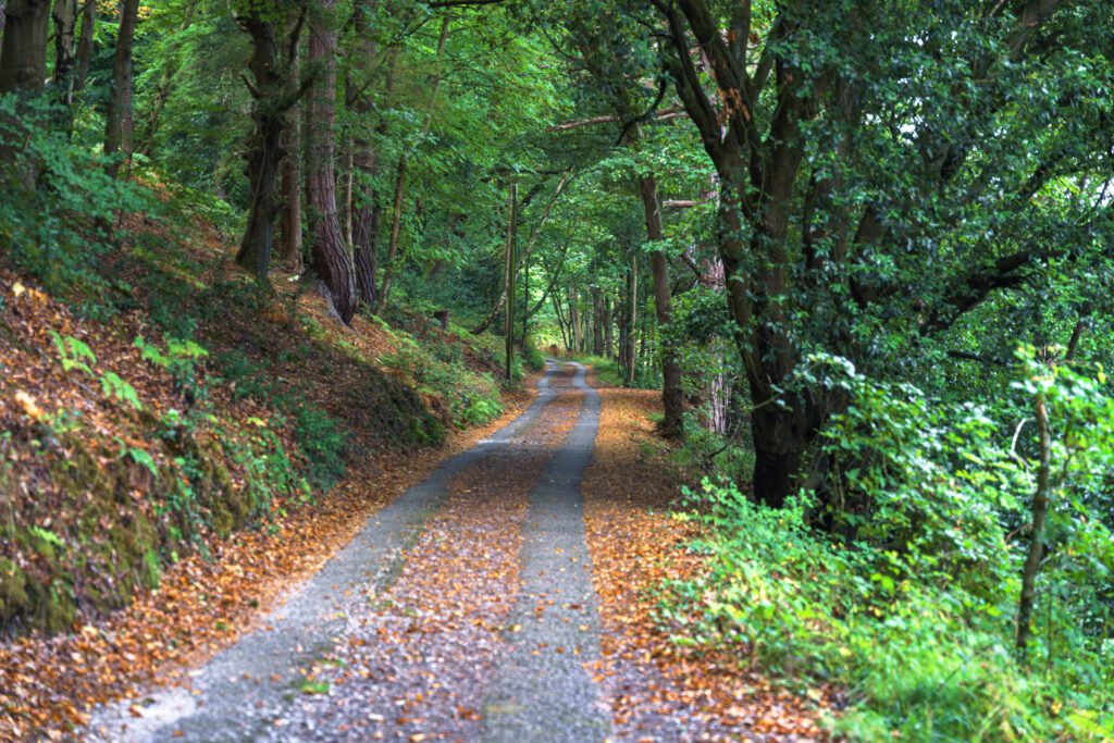
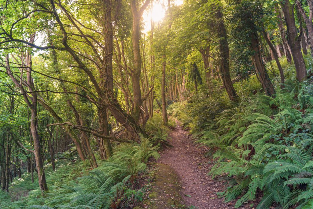
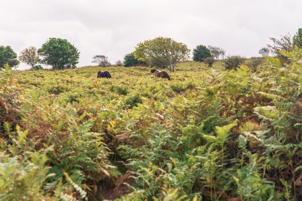
The woodland is what surprised us the most, we didn’t expect it and the sun was hitting it just right, the light through the trees here was just beautiful, also don’t forget to look out for the Exmoor ponies, they roam wild here.
With this route completely following the South West Coast Path, there are lots of footpath signs to follow so it should be pretty straightforward to follow even without the GPX but it’s always nice to take it just incase. The paths are also very good and well maintained as are any gates and stiles.
Getting there & parking
We were staying in Minehead but the best place to park is Quay West car park on the sea front, using postcode TA24 5UL.
Good to know
Not on the route itself, but there are some nearby.
No, dogs aren't allowed on this walk.
Expect coastal paths & woodland trails underfoot. What we wear for it ↓
The route
- 9.3 Miles
- 4-5 Hours
- Moderate–Hard
We did this as an out and back route and caught the bus back but if you have the time and fancy it you can always walk back the same way after lunch or refreshments in Porlock.
- Hurlstone Point.
Step-by-step
- Leaving Minehead you want to pick the SWCP up which is easy to find, this is actually the start point of the full trail.
- Follow the coast and up into the woodland.
- This part is steep and you will follow the switch backs all the way upto the top.
- Look out for the wild Exmoor ponies on this route.
- Follow the coastal path all the way, through the footpath gates and don't forget to enjoy the views.
- You'll head slightly inland at Western Brockhole before making your way back out to Hurlstone Point.
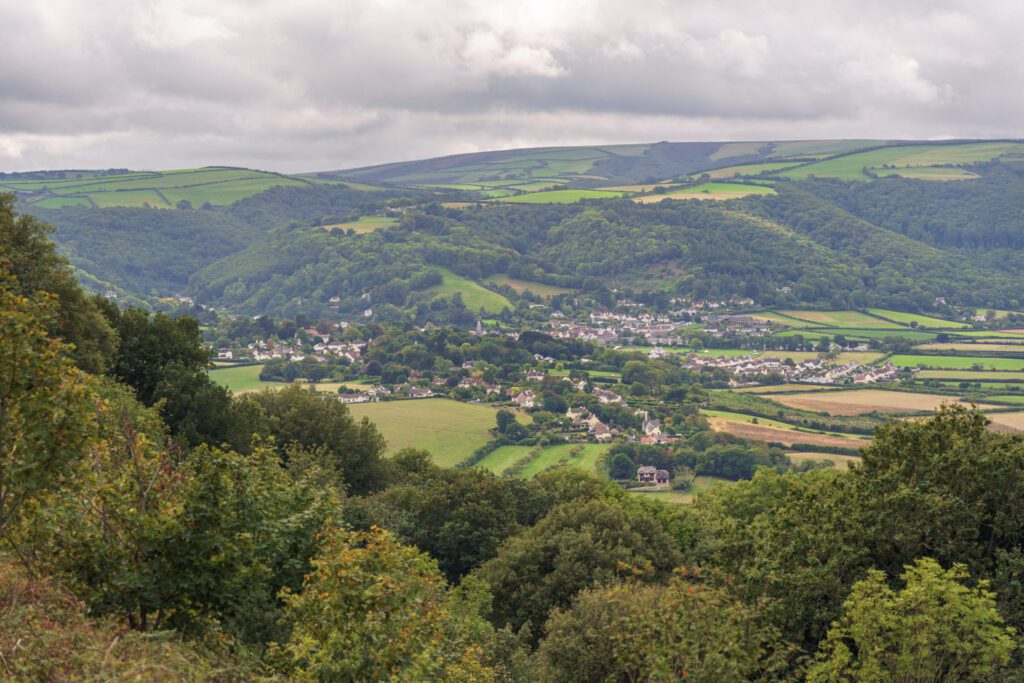
- After continuing on from here you'll start to see some villages, first Bossington and then Porlock.
- Follow the SWCP towards Bossington, past the woodland and into the village.
- Turn right on the little road and follow the SWCP all the way into Porlock.
Your walk
Heading out? Take this walk with you
Free members get the tools to follow it on the day, so you're not relying on phone signal.
- GPX downloadFor your phone, watch or Komoot.
- Printable route cardOne page with the route, pit stops and an emergency line.
- Track it & get the stampTick it off and add the miles to your log.
Tips & what to bring
As its on the coast, it can get very windy along here, so always make sure you pack a windproof, waterproof and warm layer. There’s also no stops for refreshments on route, so make sure you pack everything you need for the hike.
What we'd pack for this walk
See how we wear it →Kit we actually use, picked for this route.
-
Exposed & windy Char wearsRab Microlight Alpine (Women's)
Lightweight, packable down jacket for cold starts and summit stops.
-
Waterproof & windproof Char wearsThruDark Jacket
The jacket Char wears out in the mountains.
-
Food, drink & extra layers Char usesOsprey Skarab 30L
A comfortable day pack with a hydration sleeve for full days out.