If you’re looking for a challenging hike in the Peak District, look no further — this one deserves a spot on your bucket list!
⚡ Quick Facts
- 📍 Location: Edale Skyline, Peak District
- 📏 Distance: 22 miles (35.4 km)
- 🕒 Time: 9–10 hours
- 😅 Difficulty: Hard
- 🎯 Ideal For: Experienced hikers, photography lovers
- 🅿️ Parking: Hope Car Park – HPBC (S33 6SB)
- 🗺️ Route: View Map on OS ↗
✔️ Trail Highlights
- Ridge-line walking
- Stunning panoramic views
- Chance to spot paragliders
- Pub at the end 🍻
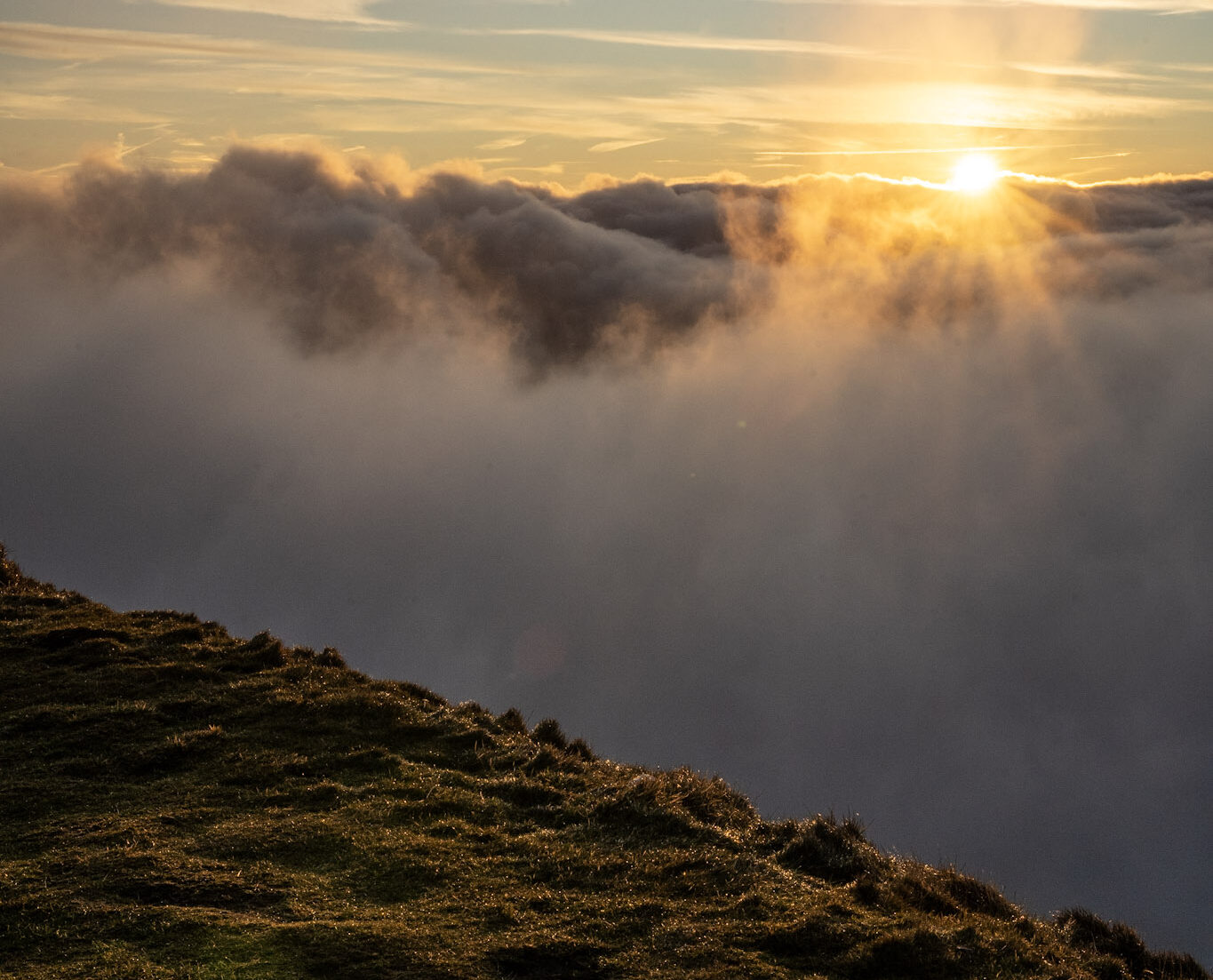
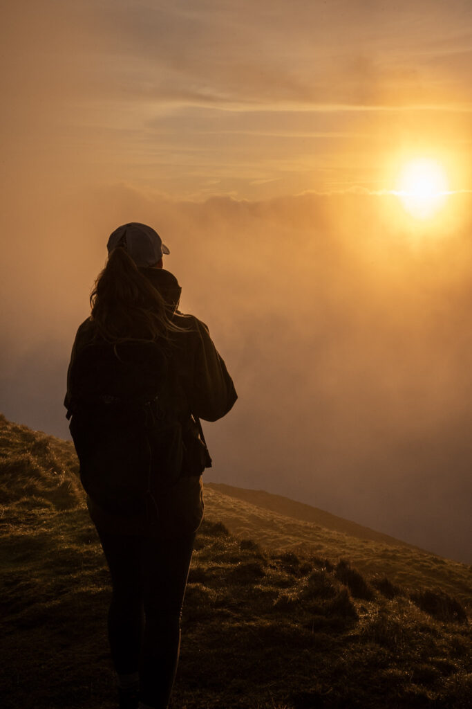
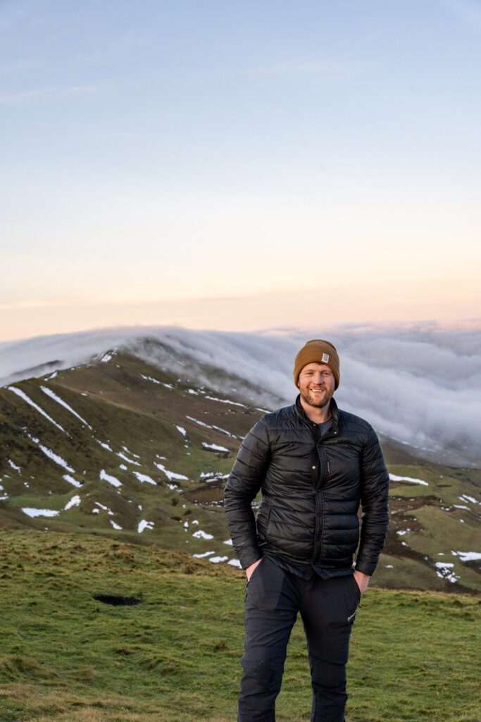
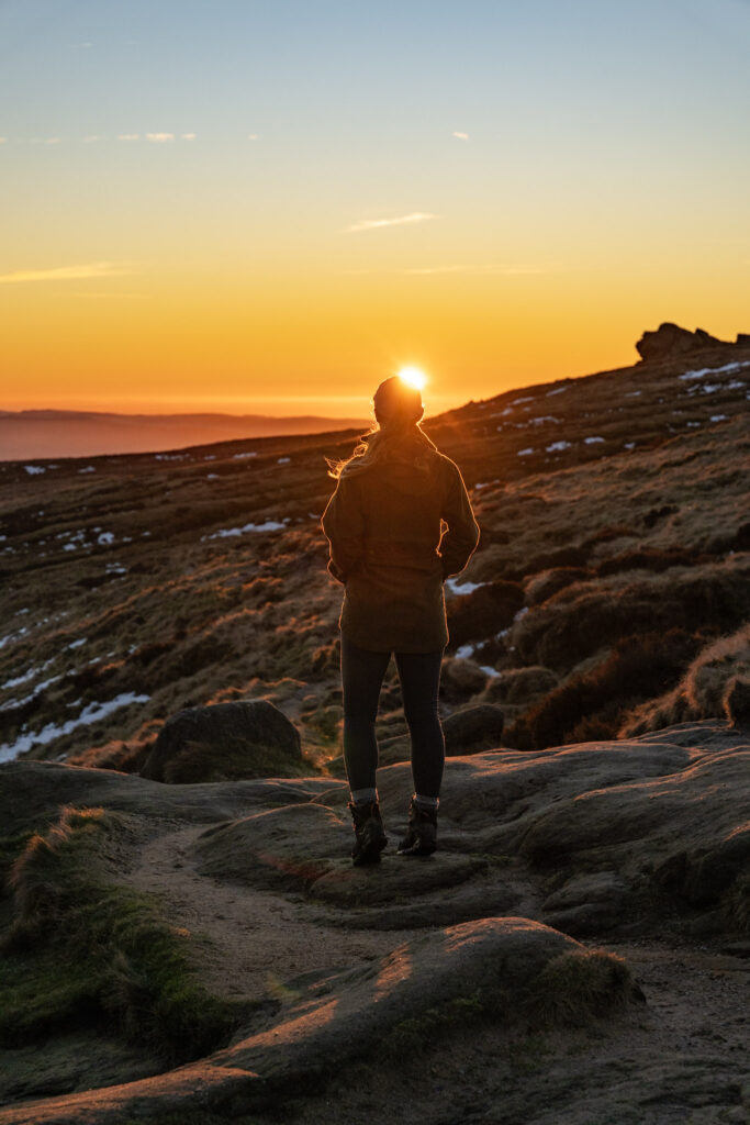
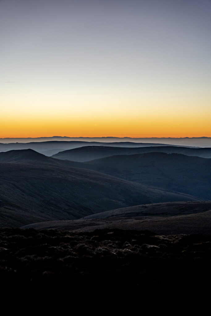
There are multiple places where you can start the walk, we chose to park at Mam Tor so that we could catch the sunrise as we set off. Mam Tor is also known as mother hill or shivering mountain due to the fact that its constantly moving, if you look below the ridge you will see the old road that became unfeasible to maintain repairs on.
TEST
hello
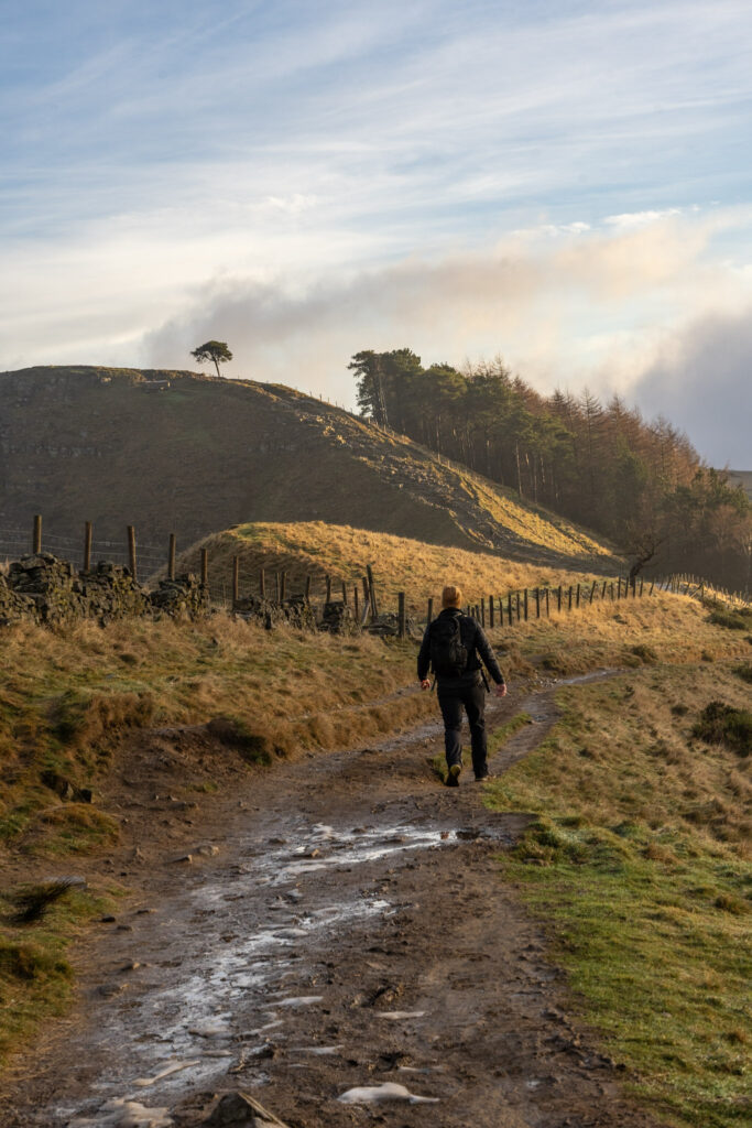
From here you head down the ridge towards Back Tor and Lose Hill. The path is good underfoot laid mainly to Derbyshire flagstones. Sticking to the main path here you’ll head down the hill into the village of Hope. There are several shops and amenities here if you need to top up on anything. When you meet the main road you’ll turn left and head down for a short distance before hitting Hope train station. You will head over the railway bridge and onto the signed footpath, which will take you right across a field before joining a country lane, where you’ll turn left.
At the junction you’ll turn right into the village of Aston before turning left up a footpath alongside a farm, this will take you all the way up to Win Hill. This section is the steepest on the route but worth it for the views at the top. Once you’re there you can take in Ladybower and Derwent Reservoirs.
Follow the main path along through a few gates and it will lead you to a tree line on your right, which you will follow for a short distance. This path will take you up Crookstone Hill then down to Ringing Roger. From this point along the walk on a clear day you may be able to see Edale.
Stick with the main path and you’ll cross a few brooks and cloughs before crossing the bigger Grindsbrook Waterfall. From here head towards Crowden Tower before descending slightly towards Edale Cross (which is the top of Jacobs Ladder) you want to go straight on here up towards Brown Knoll trig point.
Test
You’ll be back on Derbyshire flagstones here, the walking is relatively flat at this point across moorland allowing you to make up on some time. You’ll follow this for about two miles before reaching a junction where you’ll turn left and walk along Rushup Edge this will take you back to Mam Tor which in our case was the starting point.
Other places you can park on this route are; Hope and Hope Station or Edale/Castleton (but this would add on a couple of extra miles)
Further Down
You can watch us complete this walk on our YouTube –